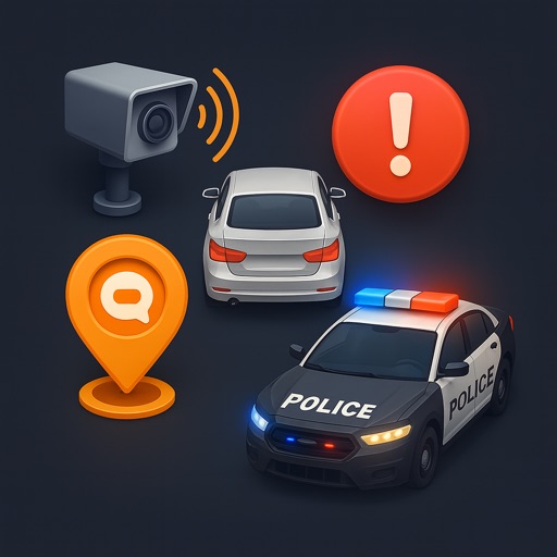
View live traffic density, road conditions, and accidents on a map. Display security cameras in real time. Receive smart alerts for speed limits. Track driving routes and monitor vehicle location. Share trip details with others.
Track real-time locations of vehicles, valuables, and people. Set geofences to receive alerts when items enter or exit specified areas. Get smart notifications for movement or unauthorized access.
Plan flights with route management tools that include data, NOTAMs, and TFRs. File flight plans and access ASA's 2024 FAR/AIM for regulatory compliance. View high-quality charts and briefing materials for pre-flight preparation.
Access vessel positions and details with advanced search and time slider features. Query by area, report incidents, and monitor oil spills. View electronic nautical charts with offline access. Receive local notifications and cluster alerts by color.
Measure areas using GPS or manual map points for accurate calculations. Switch between and distance modes. Save measurements for later access. Use compass navigation for directional guidance.
Plan subway routes in with real-time data and 2025 updates. Choose departure and arrival points for multiple transfer options including time, fare, and distance. Access offline maps and navigate using real-time location data.
Bus for routes across Nepal. Search for available journeys, select departure and arrival times, and choose seating preferences. Make payments securely and receive confirmation via email.