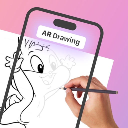
The app allows users to draw and sketch ideas with an easy-to-use interface. It offers various tools like pencil, line, oval, and rectangle, along with an eraser and undo/redo functionality.
Measure with high precision using internal sensors. Display directions and elevation changes. Track location and movement patterns. Set alerts and receive notifications. Sync data with external devices for detailed analysis.
Land, fields, and property using GPS or manual input. Place markers on the map or walk boundaries to calculate , distance, and perimeter. Choose units like square meters or square feet. Save and share measurements.