

Apps Like EarthLive: GPS Map Camera for iPhone and iPad
EarthLive: GPS Map Camera screenshots
Ranked alternatives
Showing 121–140 of 1,000 ranked alternatives.

Military GPS Survival Kit
Tigran Mkhitaryan
Navigate with -grade GPS tools
Navigation provides GPS tracking, map navigation, and route planning. Includes tools, field manuals, and live conflict updates. Users can access guides, track locations, and receive real-time news.


TouringBee: Travel Audio Guide
Touringbee Limited
Explore cities with local stories
Listen to audio guides from local experts about city attractions and sights. Navigate with GPS and map features. Access content offline without roaming charges. Explore stories about key locations and points of interest.

Live Earth Camera: Street View
旖琳 张
Scenes globally
-level footage from any location worldwide. Navigate through real-time camera feeds to explore cities, nature, and wildlife. Access travel tips and discover streams from various global locations.

OutDoors GPS – Offline OS Maps
RoadTour LLC
Navigate trails, track routes, and map
Navigate trails and routes using detailed and turn-by-turn directions. Track location and elevation. Save favorite spots and share routes. Import GPX files and set waypoints. View terrain and land features for outdoor exploration.

World Map Pro
Myrtha Murat-Vernous
Browse maps, search addresses, add locations
View the map and zoom in or out. Search for addresses and add locations to contacts. Find directions and view nearby businesses. Switch between street, satellite, and hybrid views.

Live Earth Map 3D: Streetview
Siddharth Siddhapura
Explore locations in 360° view
Explore locations in 360° panoramic view. Navigate streets and landmarks with realistic surroundings. Move freely within scenes to view angles and details. Save favorite spots for later reference. Share views via social media or email.
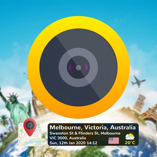
GPS Map Camera & Timestamp Cam
Milan Savaliya
Tag timestamps and locations to photos
Add time stamps, GPS coordinates, and exact addresses to photos and videos instantly. Enable grid, aspect ratio, switch, flash, focus, and timer settings. Store user locations automatically and reverse-geotag addresses.

MAPAS: Live Street View - GPS
Ela Bodar
Explore streets, zoom, and navigate globally
Navigate using real -level imagery with a single tap. Explore locations as if present, preview destinations, or revisit memories. Move between map views and immersive 360-degree scenes. No complex tools or clutter.



NMRoads
New Mexico Department of Transportation
New Mexico traffic and travel information.
The app offers New Mexico motorists mobile access to travel and traffic information. It includes an interactive map, live camera views, electronic message board data, and travel times for the Albuquerque metro area.

Where2Go: GPS Photo Compass
Pavel Vorontsov
Navigate with GPS and saved points
Navigate using a GPS to any saved location. Save current position, input coordinates manually, or extract GPS from photos. View saved points history and export coordinates to Google or Apple Maps.


GPS Coordinates Locator Map
ANKAGIS YAZILIM ANONIM SIRKETI
Get instantly and accurately
Get accurate GPS and latitude longitude instantly. Display in multiple formats including DMS, UTM, and MGRS. Convert between coordinate systems. Share precise location data directly.


How we rank alternatives
Apps are ranked by functional similarity, category fit, rating confidence, and popularity.