Book rides within specific zones in LA County. View real-time vehicle locations. Pay using stored payment methods. Track trip details and receive notifications. Switch between ride options and manage preferences.
by Spare Labs Inc.★ 4.7777 ratingsTravelFreeData updated 2026-09-06
Book rides instantly and get picked up steps away from your location. Access the Muskegon metro area without a car. Share rides with others heading in the same direction to reduce traffic and costs.
View maps of the Paris Metro. Zoom in and out, scroll freely. Access official . Navigate stations and lines. Find nearby exits and transfers. Plan routes without internet.
View and bus , including real-time arrivals and future/past times. Find bus stops, routes, and stations by name. Track buses on a real-time map. See full lines and station entrances. Search for stations and stops.
Plan and manage public transport trips with real-time schedules and route planning. Buy, charge, and validate T-mobilitat tickets. Combine bus, metro, and bike rides from multiple providers. View maps and service updates.
Plan trips using real-time MRT, BTS, SRT, ARL, and BRT data. View updated fares, schedules, and station info. Navigate offline with route planning and sharing. Access clean, intuitive interface for .
Navigate system with real-time route planning and step-by-step directions. Find nearby stations, check arrival times, and plan transfers. Tap to tap T-money card for fare payment. View maps and schedules for accurate travel information.
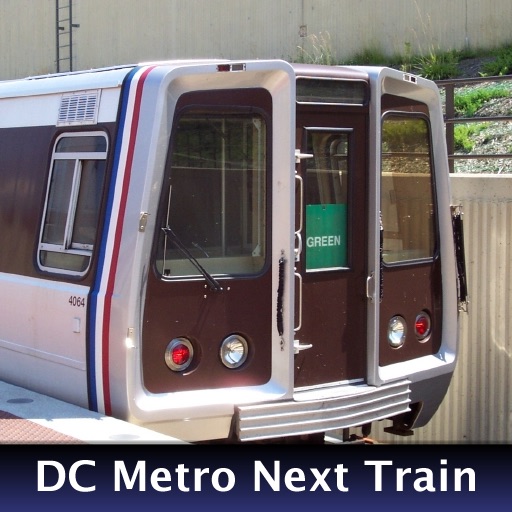
The app provides real-time train arrival information for Washington, DC Metro stations. Users can find their station and see when the next train will arrive, eliminating the need to wait on the platform.
Plan trips by viewing real-time schedules for trains, buses, trams, metros, and ferries. Buy e-tickets, track vehicle locations, and receive updates on delays or changes.
Find the nearest or Cablebús station with real-time updates. View station maps and schedules. Get live service alerts and route information. Navigate stations with visual guides. Check for delays or closures.
Navigate public transport in with real-time arrival times and waiting durations. View maps for , EMT, and Interurbanos lines. Calculate routes between stations. Save favorite stops and access timetables for accurate planning.
The app identifies WMATA bus stops, WMATA metro stations, and Montgomery County Ride On bus stops. It provides next bus and train predictions, with location determined by services or map navigation.
Browse official subway and train maps with high-quality images. Switch between maps, search for stations by name, and zoom with pinch-to-zoom. Load maps instantly and use multi-tasking to close and reopen the without reloading.