Navigate MRT and BTS systems with detailed maps and real-time planning. Calculate trip costs and find nearby stations via augmented reality. Access payment options and details. Sync with Google and Apple Maps for integrated navigation.
Monitor environmental conditions from remote locations. View data from weather stations, soil moisture sensors, and water distribution systems. Adjust settings and make decisions for crop production and water management.
The app presents synoptic, significant weather, wind, temperature, thunderstorm forecast charts, and satellite maps. Users can save charts, email them, or use the Trip Kit function for offline viewing.
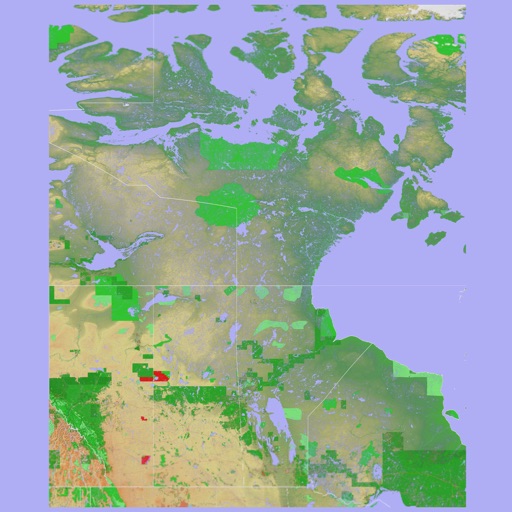
The app provides a 3D topographical map of Western Canada. Map data downloads to the device for use without an internet connection, allowing users to view terrain features as small as ten meters.
The app presents a 3D topographic map of Eastern Canada. Users can download map data for use without an internet connection, suitable for various travel methods.
Monitor real-time location and environmental data for marine activities. Receive smart alerts for safety risks. Access offline maps and navigation tools. Record and retrieve black box data for incident review.
Track outdoor activity with GPS navigation, add waypoints and routes for navigation. Plan routes with altitude data and adjust as needed. Capture moments and save maps for future reference.