View hourly forecasts for the next 24 hours. Swipe to compare the same time on future days. Get GPT-generated summaries and insights based on 270+ data points. Track temperature, precipitation, and wind conditions. Set daily alerts.
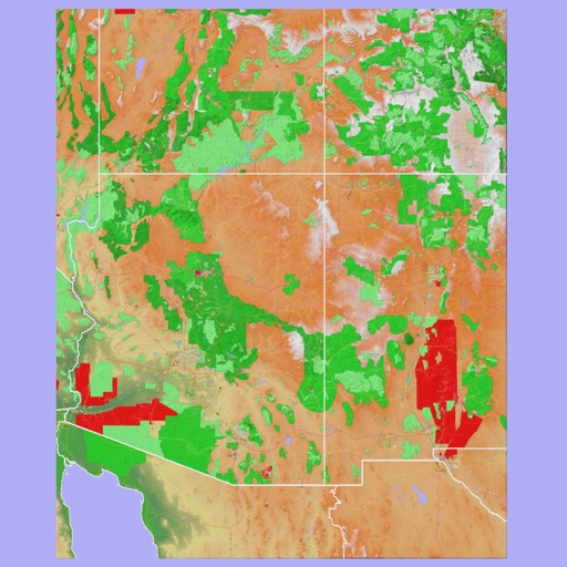
The app provides 3D topographic maps for iPad and iPhone. Vector map data is contained within the app for offline use, supporting navigation in various environments.
Plan hikes by downloading detailed topographic maps for offline use. Access IGN, SwissTopo, and OpenTopo basemaps. Track routes, view elevation data, and navigate with precise geographic information. Share maps and waypoints with others.
Track buses in real time with updates on a map. Tap buses to view their routes and current locations. Access detailed route information and schedules. Plan trips using the city's public transportation network.
Record cycling rides with offline maps and GPS tracking. Add routes via GPX files or existing rides. Overlay routes on maps. View climb categories and ride history without internet. Import photos and attach to rides. Sync with Health .