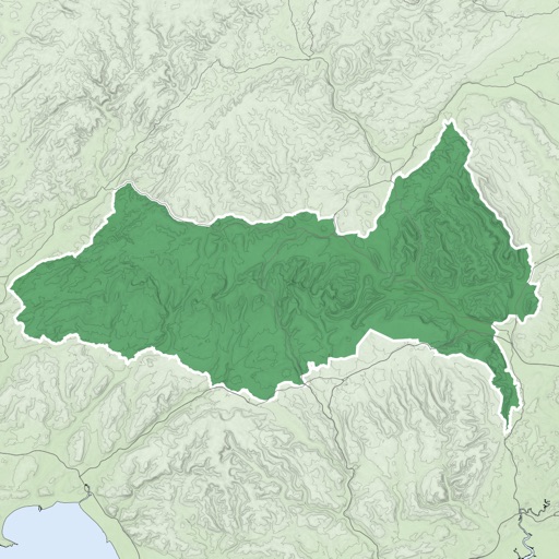
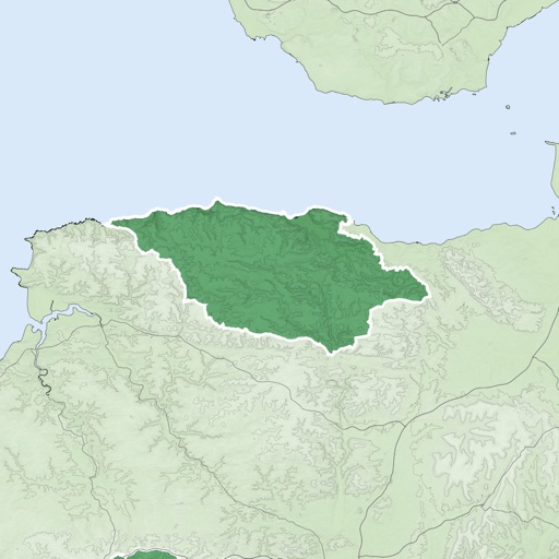
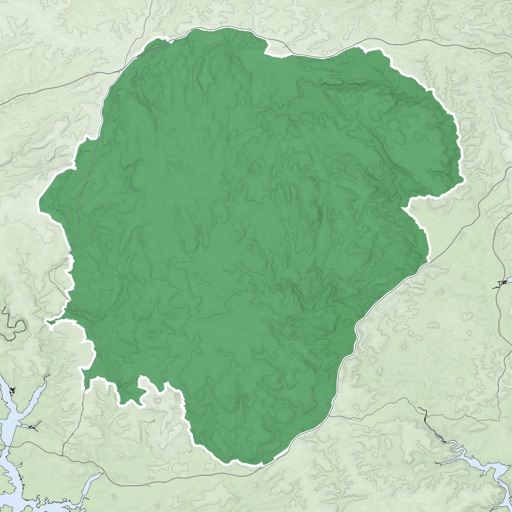
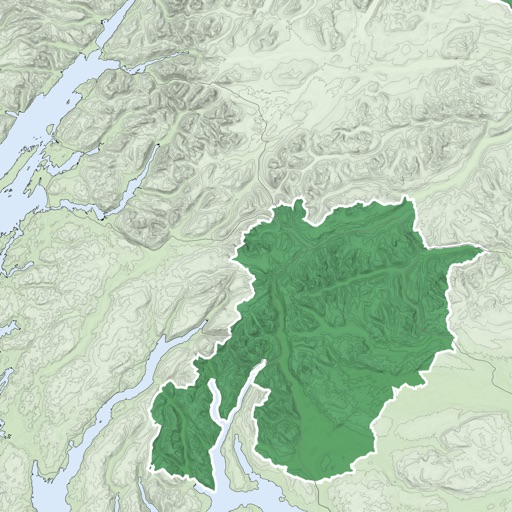
Track location and map terrain with real-time GPS data. Create and save custom routes. Mark waypoints and measure distances. Share maps and routes with others. Sync with devices for offline navigation. View elevation changes and terrain details.
Track outdoor activity with GPS navigation, add waypoints and routes for navigation. Plan routes with altitude data and adjust as needed. Capture moments and save maps for future reference.
Mark locations on maps by pinning or entering GPS coordinates. Organize saved places into folders and access favorite spots quickly. Navigate using integrated Google Maps or preferred mapping services.