Apps Like Live Street View :Earth Camera for iPhone and iPad
Navigate streets and explore landmarks
Navigate using a 3D map with interactive routes. real-time imagery of any location. Calculate distances and areas between points. Explore landmarks and locations globally.
by abderrahim marari★ 4.664 ratingsNavigationFreeData updated 2026-09-06
Explore city streets with self-guided walking tours highlighting famous attractions and hidden spots. Use an interactive map to navigate, locate points of interest, and track your route. Save favorite locations and receive real-time directions.
The app provides worldwide marine and outdoor maps, including USA marine charts, lake maps, and parks. Users can download charts for offline use, overlay satellite and terrain features, and access interactive weather forecasts.
Explore self-guided walking tours with detailed city maps. Navigate to attractions and hidden gems. Save favorite routes and receive turn-by-turn directions. Track progress and view points of interest. Share locations with friends.
Explore self-guided walking tours with detailed city maps. Navigate to attractions and hidden spots. Set waypoints and track progress. View points of interest and receive directions. Share locations and save favorite routes.
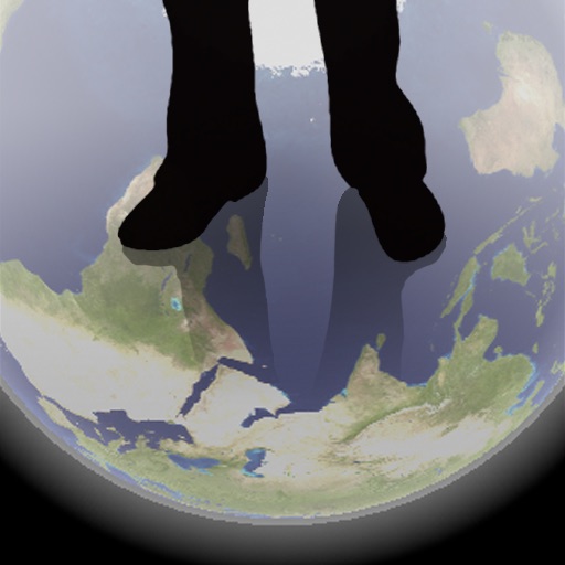
The app shows a transparent view of the earth, allowing users to see the other side of the world beneath their feet. It displays the positions of major cities on a reversed blue marble through a camera overlay view.
Explore self-guided walking tours with detailed city maps. Navigate to attractions and hidden spots. Set walking routes and track progress. View points of interest and receive location-based information. Share tour experiences with others.
View bus schedules and real-time updates. Search stops by name, number, or location. Set reminders for missed buses. Locate stops on a map and save favorites. Share schedules via text message.
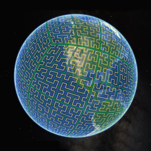
Display S2 cell boundaries globally. View cell IDs and compare with real-world landmarks. Integrate with Ingress Intel Map to check portals and stops. Ensure new submissions align with cell boundaries.
Explore self-guided walking tours with detailed city maps. Navigate through attractions and hidden spots. Locate points of interest and plan routes. Track progress and access real-time navigation. Share locations and save favorite spots.
Explore , discover landmarks, navigate city streets
Navigate city streets with a detailed map to find attractions and points of interest. Follow self-guided walking tours to explore famous landmarks and hidden spots.
Identify locations from photos using AI recognition. Upload or take a photo of a landmark, street, or building. Get precise map coordinates instantly. Share locations with others. Sync with maps for navigation.
Provides maps for navigation without internet connection. Displays detailed vector maps with continuous updates. Helps avoid roaming charges by using local data. Allows zooming at any level for precise location tracking.
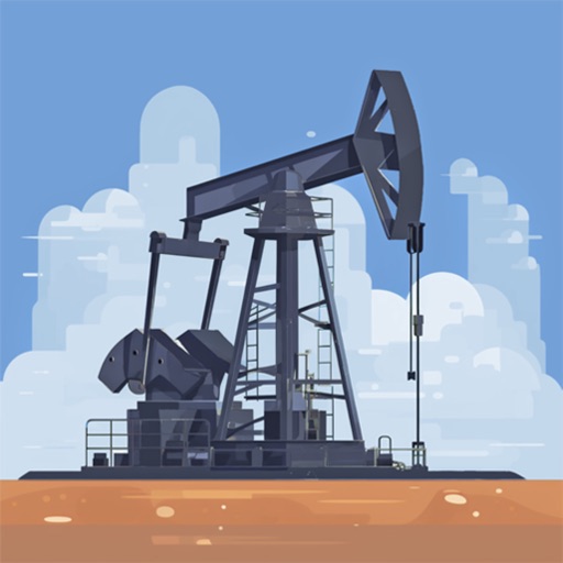
Search for oil wells across 20 states and view produced oil, water, and gas data. Filter wells by location and type. Export details and track production metrics. Navigate to sites using map views.
Track and mark wildlife such as big , fish, predators, small , and birds with a long press. Sort markers by time periods and save images for reference. Draw boundaries to identify property lines and store landowner information.