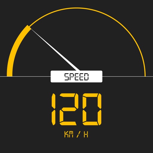
Tracks current, maximum, and average speed using GPS. Displays speed in analog and digital formats with colorful LED. Records distance traveled and trip time. Functions as a trip meter and for vehicles, walking, running, biking, and boating.
Find free zones by filtering the map to display only free spots. Locate streets without payment requirements and identify 3-hour free zones near your destination. View rules and zones on a color-coded, easy-to-read map.
The app provides interactive maps and a route planner for Nexus public transport in Tyneside. It offers offline functionality for maps and journey planning, with regular updates to keep information current.