Calculate dimensions by converting circular to rectangular equivalents. Determine ventilation parameters including diameter, airspeed, airflow, and dynamic pressure. Compute pressure drop for straight sections and systems.
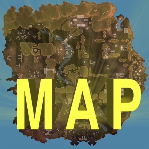
Track locations, respawn beacons, survey beacons, crates, and jump towers. Toggle points of interest on and off. Share markers with friends to coordinate strategies. View interactive map with detailed location data.
Track locations with a pin to create a personal map. Add trip details, notes, and visit types. Log expenses and view all journeys on an interactive map. Organize and explore history in one interface.
The app visualizes distances between two locations alongside a user's hometown map. It translates remote distances into familiar hometown equivalents, making them easier to understand.