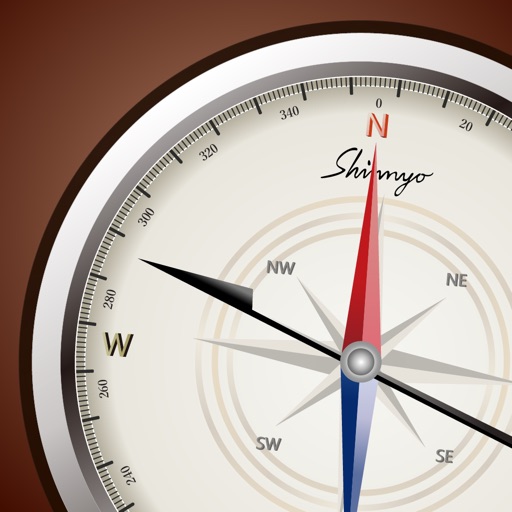
The app provides precise GPS coordinates by forming an average value from multiple measurements. It reads the current position every second and filters out short jumps to improve coordinate determination.
Navigate using distance and direction without a map. Set destinations and receive step-by-step guidance. Track progress and view distance metrics. Works independently on Apple Watch with GPS.
The app offers a feng shui compass with features for adjusting and displaying the seat position and scale. It includes integrated compass functions and simulations for manual adjustment.
View GPS tracks for hiking, cycling, and running with an interactive map and elevation-based color coding. Open standard GPX files to see routes and access detailed statistics. Display tracks with a simple, read-only interface.
Dronar displays real-time sonar data showing fish location, size, and depth. It alerts users when fish are detected. Users can set alarm thresholds and view comprehensive fish metrics.
The app calculates distances and bearings between two points using latitude and longitude. It can also determine a final position from a starting point, distance, and bearing.
Navigation displays real-time telemetry data including location, heading, altitude, speed, distance, and elapsed time. Users can customize display modes, units, and configurations by tapping or long-pressing values.