

Apps Like GPS Map Coordinates Locations for iPhone and iPad
Find with precise
Find using GPS . Search for areas and retrieve accurate latitude and longitude. Switch between standard, satellite, and terrain map views. Calculate area measurements. Share via email or messaging.
Ranked alternatives
Showing 101–120 of 1,000 ranked alternatives.

OsmAnd Maps Travel & Navigate
OsmAND B.V.
Plan routes, track progress, offline
View detailed with offline access. Search for locations by address or category. Plan routes considering road preferences and vehicle size. Track inclines and record GPX tracks. Customize data access and privacy settings.


iLocation+: Here!
Jeonghwan Kim
Search and share location easily.
The app displays current location information automatically. Users can view coordinates, altitude, and addresses for current or specified locations, with options to change map formats and save locations.

myLocation - GPS Coordinates
Apostolos Samaras
Share locations, save places, navigate routes
Save and share precise GPS globally. Create and manage location pins with detailed descriptions. Receive real-time updates on shared locations. Set custom visibility settings for location sharing. Sync locations across devices for easy access.

GB Grid Converter
Geospike Pty Ltd
Convert British Grid to Lat/Long
The app converts British National Grid References to Latitude, Longitude coordinates. It displays converted coordinates in the Maps app or sends them to GPS Log.

Anchor Pro
IdeaBoys GmbH
Set location with bearing and distance
Set location during or after installation using distance and bearing. Define allowed area as a circle or custom shape with angles and distances. Monitor movement and receive alerts when boundaries are exceeded.

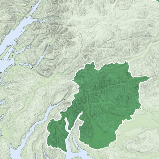

We Maps 03
Makoto Katsumata
Navigate with real-time traffic data
Navigate using auto-direction based on current location. Create routes on Google . Access latest Street View and traffic data. Search locations with simple input. Add multiple pins and view full-screen . Display latitude and longitude.

NP Maps
Delcartes LLC
Download and track your route
Download for national parks and USGS topographic regions for offline use. Access 150 NPS park and 60,000+ topographic . Use GPS navigation without internet connectivity. Save for later use in areas with no data service.

GPS
Void Stop Pty Ltd
Access iPhone GPS functionality and more.
The app displays current heading, course, speed, coordinates, and altitude. It offers street, topographic, and aerial maps, with cached maps available for a day.

CoordCalc
Justin Graham
Calculate distance and bearing between points.
The app calculates distances and bearings between two points using latitude and longitude. It can also determine a final position from a starting point, distance, and bearing.


How we rank alternatives
Apps are ranked by functional similarity, category fit, rating confidence, and popularity.