

Apps Like Float Travis for iPhone and iPad
Float Travis screenshots
Ranked alternatives
Showing 481–500 of 1,000 ranked alternatives.



Map Map - Your Map on a Map
Ben Roberts
Overlay photos on maps to navigate trails
Capture and import photos of maps or diagrams. Overlay images on Apple Maps for navigation. Track location within visual references. Save and share custom MapMaps. View detailed location markers and directions.
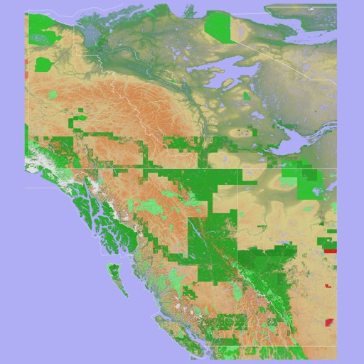
Scenic Map Western Canada
Mark Granger
3D topo map of Western Canada
The app provides a 3D topographical map of Western Canada. Map data downloads to the device for use without an internet connection, allowing users to view terrain features as small as ten meters.
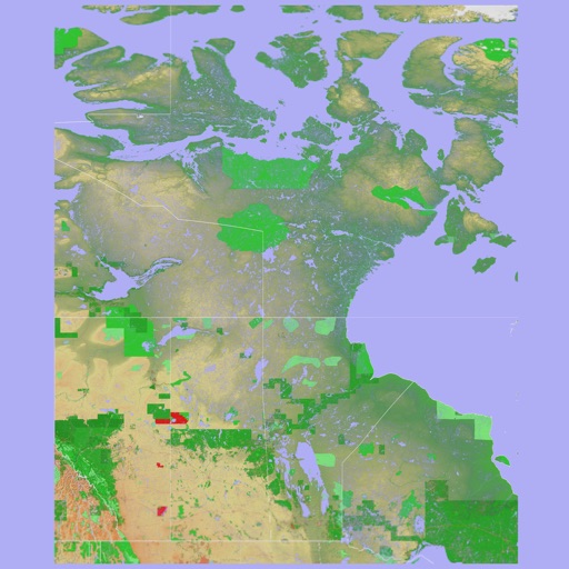
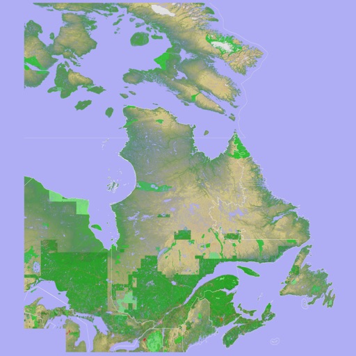
Scenic Map Eastern Canada
Mark Granger
3D topographic map of Eastern Canada
The app presents a 3D topographic map of Eastern Canada. Users can download map data for use without an internet connection, suitable for various travel methods.


London Bikes — A One-Tap Santander Cycles App
Urban Apps
Locate Santander Cycles docking stations easily.
The app locates the closest Santander Cycles docking station, showing distance, direction, and available bikes and docks. Full-map mode displays destination dock availability, and a ride timer helps track rentals.


Location Book - MyLocations
Alpay Calalli
Save locations, edit notes, access instantly
Save and organize locations with on-the-fly edits. Access saved spots anytime. View maps and search for nearby places. Share locations with others. Set reminders for favorite places. Sync across devices.


NZ Topo50 North Island
Right Place Resources Limited
Offline maps for New Zealand's North
The app provides offline topographic map coverage of New Zealand's North Island. It includes satellite images, elevation data, and integrated information on land boundaries and trails.
How we rank alternatives
Apps are ranked by functional similarity, category fit, rating confidence, and popularity.