Create static waypoints and dynamic routes for avionics testing. Simulate GPS signals for receiver validation. Upload daily almanac data automatically. Support single or dual GPS antenna setups. Configure up to 10 channels.
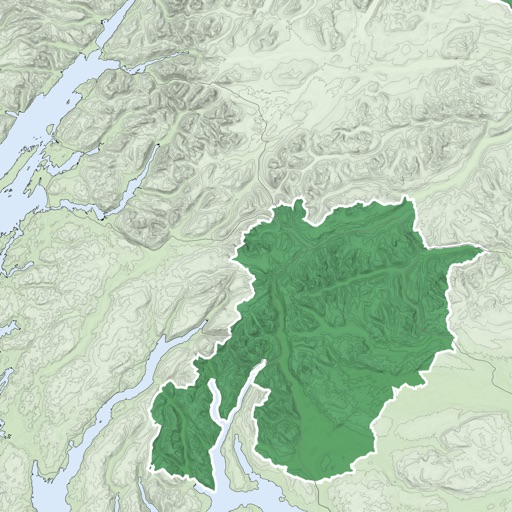
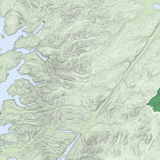
View topographic maps of New Zealand's offline. Locate current position via GPS. Search for place names. Includes all map data from LINZ 1:50000 scale Topo50 series.
GPS track with color-coded altitude layers to identify wind patterns. Crew members view real-time flight tracking on a webpage. Includes offline maps, weather forecasts, load calculations, and a flight logbook.