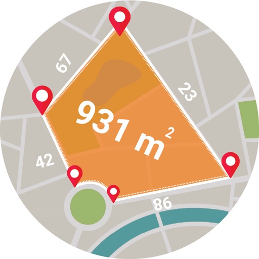
The app allows users to digitize and divide real property into sub-areas. Users can record GPS locations, pick GPS locations for lines or areas, and use stakeout functions to approach points or move along boundaries.
Calculate areas, plots, and distances using GPS technology. Draw and map regions on a map. Measure perimeter and of custom shapes. Save and share measurement data. Export maps in various formats.
Plan hikes and summit attempts with detailed trail maps and elevation data. Track progress on each peak with logging and completion status. View real-time weather conditions and safety alerts for hiking areas.
Invite members using a unique code without registration. Share or track locations in real time by enabling tracking. View each other's positions on a map and manage location sharing settings within the .
Track train routes with GPS-guided audio commentary and real-time map positioning. View photographs and text at waypoints every mile. Switch to manual mode for off-train navigation or adjust playback.
The app allows users to create remarks with GPS coordinates and pictures for field inspections. Users can integrate their own map layers and track inspection progress on a map.
The app provides statewide USGS topographic maps and over 2,000 labeled trails for hiking, walking, and biking. It features a detailed track of Vermont's Long Trail with over 600 points of interest, including water sources and shelters.
The app provides marine charts for the UK and Ireland, featuring live AIS ship positions, augmented reality views, and route planning. It offers offline charts, autopilot support, and detailed navigation information for boating trips.