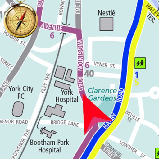
Plan routes between highways, state, and provincial roads. Display directions with closed road alerts. View total distance and travel time. Access real-time traffic information. Receive road condition updates along the route.
Plan and manage running, hiking, or biking routes using map-based tools. Calculate distances for routes, estimate calorie burn, and set training goals. Import and export routes. Sync with fitness trackers.
Locate nearby bus and tram stops, bike parking, relay parking, and nearby points of sale. View real-time schedules for upcoming bus and tram arrivals. Find optimal routes combining walking, cycling, bus, tram, funicular, or LER.
Plan cycling routes by drawing on an interactive map and using automatic bike-friendly routing for road, gravel, and mountain biking. Add waypoints and points of interest. Export routes to GPX for your bike computer.
Explore trails, find routes, and navigate outdoors
Navigate with interactive walking maps to explore parks, cities, and scenic routes. Discover curated photo-led trails and circular green routes. Filter by difficulty, accessibility, and activity type.
Access offline topographic of New Zealand. Download and manage to conserve storage. Locate DOC huts, campsites, and hunting areas. Search for named locations. Import GPX routes and share via AirDrop. Measure distances on .
Provides interactive maps with lakes, rivers, and zones. Users can track routes using offline GPS navigation. The includes tools for marking locations and planning trips.
Explore hiking trails, cycling paths, and running routes in Gerês, Vieira do Minho, and surrounding areas. View detailed descriptions, photos, and route statistics including distance, duration, and difficulty.
Track workouts with heart rate, distance, elevation, and pace data. Log activities like hiking, cycling, swimming, and running. Generate detailed graphs for performance analysis. Sync data with Apple Health. Set goals and monitor progress.
Track and visualize Apple Watch workouts on an interactive map. View GPS routes for running, walking, cycling, and hiking. Tap workouts to see detailed stats and replay sessions. Explore locations and relive journeys with map-based navigation.
Navigate a long-distance hiking route through the French Pyrenees from the Atlantic Ocean to the Mediterranean Sea. View detailed trail markers with white and red horizontal stripes.