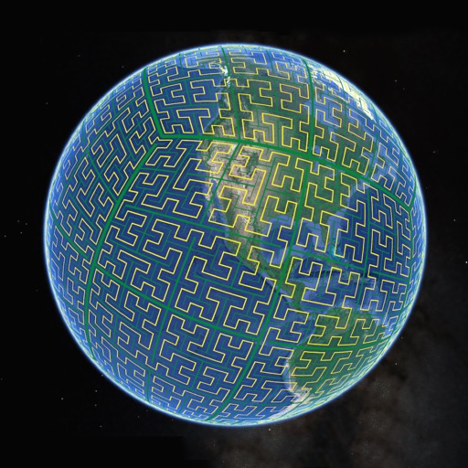
Display S2 cell boundaries globally. View cell IDs and compare with real-world landmarks. Integrate with Ingress Intel Map to check portals and stops. Ensure new submissions align with cell boundaries.
The app provides access to climbing and backcountry skiing guidebooks on a mobile device. Guidebooks are available for offline use after download and offer turn-by-turn trail navigation to climbs using the device's GPS.
Allows users to define harvesting areas and stream boundaries using ArcGIS map data. It supports iPad with GPS boosters for location tracking. Users can manage map layers and attributes for forestry planning.
Manage HOA tasks through a mobile integrated with Village Management Software. Conduct inspections offline, sync data when online, and access compliance tools. View resident information, schedule meetings, and track property details.
Monitor nearby 2G, 3G, and 4G networks to find optimal mobile connections. Display RSSI, RSRQ, RSRP, SINR, EC/IO, and GIS data for comparison. Filter by operator and type. Perform regular pings for detailed analysis. Generate reports on performance.
Manage employee tasks with offline access and repair logging. Create shopping lists with item images. Calculate LSI values automatically. Track chemical costs during service. Send notifications when the is used.