Convert across 20 categories including length, weight, temperature, and more. Perform real-time conversions with 8-decimal precision. Switch between metric and imperial systems. Use scientific notation and dark mode.
Calculate , perimeter, , and weight for 170+ geometric shapes. Input measurements or use calculation methods for missing values. Select materials like metal, wood, or liquid to determine weight. Search shapes by typing or swipe through categories.
Photos with GPS data including , time, weather, and compass. Share geotagged photos with contacts. Add map markers, latitude, longitude, and altitude to images. Stamp photos with date and time. Sync data with captured photos.
, , , and using the camera. Choose from six measurement methods. Display results in real-time within the camera view. Save measurements as images. Share results directly.
Allows users to define harvesting areas and stream boundaries using ArcGIS map data. It supports iPad with GPS boosters for location tracking. Users can manage map layers and attributes for forestry planning.
Measure distances and areas on maps by tapping points. Switch between metric and imperial units. View precise measurements for property, routes, or land.
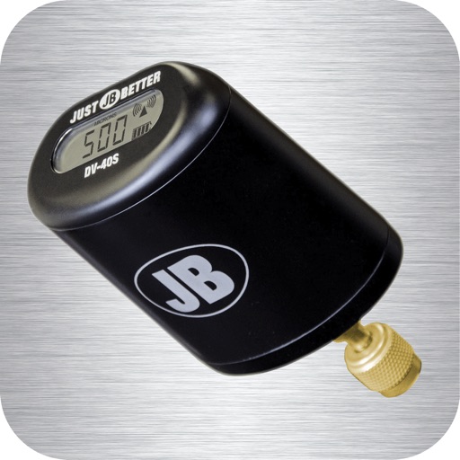
Monitor vacuum pressure with real-time measurements and unit selection. Set alarms and customize themes. Track job time with timers. Log data and export logs via email.
Objects with a digital ruler, measuring tape, and level . Calculate feet and inches with conversion calculators. Use laser level for alignment. Export measurements and share results.
Measure in real time using GPS and sensor data with less than 3-meter error. Track air pressure and oxygen concentration. Customize themes for personalized backgrounds.