Create and share by drawing routes and adding markers for campsites and start points. Collaborate with others to edit and view in real time. Navigate trails, track progress, and receive turn-by-turn directions.
Explore scenic routes through parks, museums, and landmarks. Navigate with turn-by-turn directions and real-time maps. Save favorite locations and share routes with others. Unlock premium content for exclusive travel experiences.
View real-time for U.S. Customs & Protection lanes at any port. Compare Standard, SENTRI/FAST, and READY delays. Overlay live traffic data to identify congestion. Access clean, ad-free interface for quick loading.
Find stations with real-time location data and details on available services like Wi-Fi, dining, and restrooms. View distances in miles, tap to navigate, or send directions directly to a contact.
Plan flights with detailed aircraft profiles and radio frequency access. Calculate fuel requirements and flight times. Manage pre-flight checklists and weather data. Track in-flight performance and adjust routes as needed.
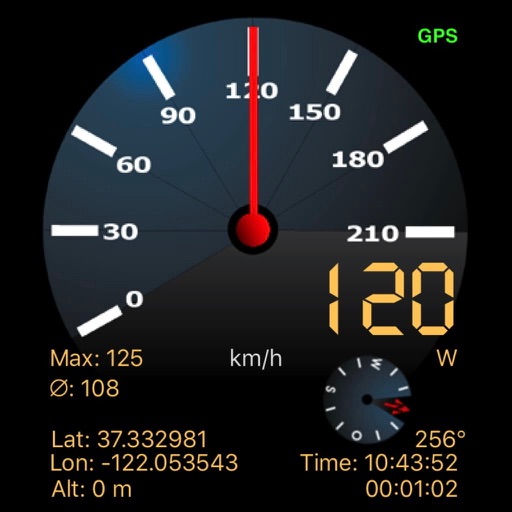
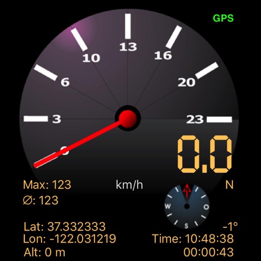
The app displays speed using GPS data, showing analog and digital readouts. It includes a compass, stopwatch, and supports multiple vehicle modes like Car, Airplane, and Sailboat.
Variometer+ provides real-time altitude and ground speed data with sea level and relative to take-off readings. It includes a sink alarm and customizable gauges. Users can adjust units and configure settings that sync across devices via iCloud.