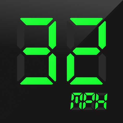
The app checks the user's speed and provides warnings when exceeding the speed limit. It supports both metric and imperial speed units, with optional warning sounds and adjustable tolerance settings.
Navigate using real-time traffic updates and turn-by-turn directions. Access points of interest, search for locations, and view maps. Switch between portrait and landscape modes. Control audio playback and manage call functions.
Navigate using real-time alerts and avoid speed cameras. Choose optimal routes based on accurate data. Report new cameras, police traps, and road hazards. Get notifications along your route. Sync with GPS for precise location-based warnings.
Track and distance with real-time GPS. Log trips and view detailed statistics. Use drag meter for performance analysis. Monitor odometer and fuel efficiency. Access advanced HUD display for driving insights.
Find the cheapest petrol stations in Germany, France, Spain, Portugal, and Italy. View real-time prices and station locations on a map. Plan routes with price updates along the way. Save money by selecting the most affordable option.
Navigate offline with turn-by-turn directions and map views. Set waypoints and track routes. Use for orientation. Share locations and receive directions without internet. Sync with other devices for real-time updates.
Measure distances by dragging a finger across the map to calculate route lengths. Center on current location with the locator button. Clear routes by shaking, using the trash button, or dragging again.
The app provides a heads-up display for a car, offering GPS-based speed information with MPH and KPH options. It includes digital and standard font modes, 12 and 24-hour clock options, and portrait and landscape orientations.