

Apps Like Aerial Recon for iPhone and iPad
Re-project CAD data to locate monuments
Use Google Maps to locate survey monuments, control points, and benchmarks. Re-project 2D CAD data to WGS 84 for accurate positioning. Geotag photos to verify benchmark accuracy. Check reliability through other surveyors' usage.
Ranked alternatives
Showing 581–600 of 1,000 ranked alternatives.


Route - Get Around
Gus Flusser
Share rides with verified college students
Find rides with verified college students. Post or book trips to shared destinations. Earn money as a driver or save on travel costs as a passenger. Verify with an .edu email. View ride details and confirm travel plans.

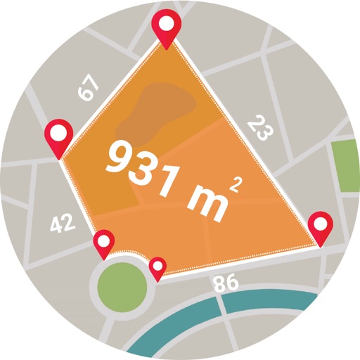
Live GPS Land Area Calculator
Muhammad Asad Khan
Measure areas and distances with GPS
Calculate areas, plots, and distances using GPS technology. Draw and map regions on a map. Measure perimeter and of custom shapes. Save and share measurement data. Export maps in various formats.

The Dating Project
The Dating Project Inc
Connect with believers and share your faith
Connect with other Christians through filtered profiles and shared faith-based interests. Send messages, attend virtual speed events, and filter matches by location and relationship goals.

Geocollect - Xem&thu thập GIS
Luan Ta Minh
Collect and manage geographic data
Collect and manage geographic data with precision. Import and export multiple formats including GeoJSON, KML, Shapefile, and GeoTIFF. View and edit spatial data directly on mobile devices. Sync data with cloud storage.

Lobsterly
LOBSTERLY LLC
Track catches, find lobster spots, navigate
Plan lobstering trips with interactive maps and real-time navigation. Track catches and locate proven lobster spots. Identify no-take zones in Miami-Dade and Monroe Counties. Access GPS charts for precise positioning and routing.


Lokimaps
Shingle Oy
Navigate with accurate
View topographic of with detailed scale options and lake depth information. Access property data via in- purchase. Download for offline use. Navigate using precise map data and location features.
How we rank alternatives
Apps are ranked by functional similarity, category fit, rating confidence, and popularity.