
Compass 54 Pro
Elen Bekzadyan
Real compass with location and weather.
The app displays device orientation to magnetic fields. It provides location coordinates, course, speed, altitude, weather information, date, time, and map views.

Showing 241–260 of 1,000 ranked alternatives.
Elen Bekzadyan
Real compass with location and weather.
The app displays device orientation to magnetic fields. It provides location coordinates, course, speed, altitude, weather information, date, time, and map views.


Axon Enterprise, Inc.
Capture digital evidence from the field.
The app allows law enforcement officers to record video, audio, and photos. Users can add details like category, title, and GPS coordinates to digital evidence before uploading.

Jayshri Pipaliya
Capture photos with stamps
Add accurate GPS data to photos and videos. View maps with exact coordinates. Share -stamped media directly. Edit and organize geotagged content. Sync with cloud storage for backup and access.



Owe Engstrom
Annotate photos with voice, location, and markers
Annotate photos with text, voice notes, and location tags. Add custom markers and organize images with titles and descriptions. Sync and share annotated photos across devices.

Milan Savaliya
Tag timestamps and locations to photos
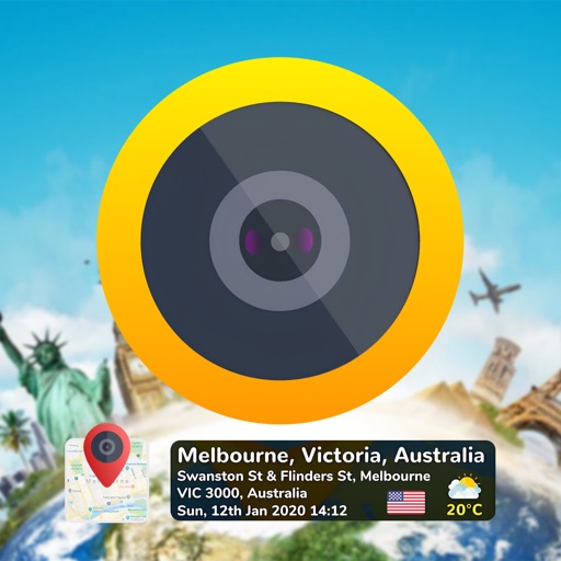
Add time stamps, GPS coordinates, and exact addresses to photos and videos instantly. Enable grid, aspect ratio, switch, flash, focus, and timer settings. Store user locations automatically and reverse-geotag addresses.


Elecont LLC
Real-time weather insights and visuals.
The app provides live satellite imagery for various regions, including North America and Europe. It tracks storms worldwide with precise projected paths and detailed forecasts, offering a complete view of weather conditions.

伟 雷
Navigate with real-time coordinates and altitude
Display current direction, altitude, latitude, and longitude. Show real-time barometric pressure and movement speed. Track geographic location. Switch between "Classic" and "Sunset" visual themes with premium color schemes.



dataWorks GmbH
Navigate with altitude and accuracy
Displays altitude, coordinates, and speed with options for metric or imperial units. Shows accuracy and warns about signal issues. Offers aircraft mode with in feet. Compares current altitude with known values. No ads or data collection.


Anastasiia Kulias
Land areas with GPS
Calculate land using GPS coordinates. Draw shapes on maps to fields or plots. Add GPS stamps to photos with location, time, weather, and compass data. View live maps and magnetic information.

Apps are ranked by functional similarity, category fit, rating confidence, and popularity.