Monitor coyote sightings via an interactive map. Receive real-time alerts about nearby activity. Plan safe walking routes to avoid areas with reported coyote presence. Share sightings with the community to enhance safety for pets and children.
by Blair Bowman★ 5.02 ratingsNavigationFreeData updated 2026-09-06
The app is a quarter-sized device that connects via Bluetooth 4.0 to a smart device. It can be attached to items and traced through the app within a 150-foot range, with visual radar and an alarm.
View historical routes on Google Maps and revisit past locations by selecting dates. Display time based on location. Personalize devices with custom names. Track movements and access detailed route data for security and awareness.
Search destinations, get shortest routes, navigate
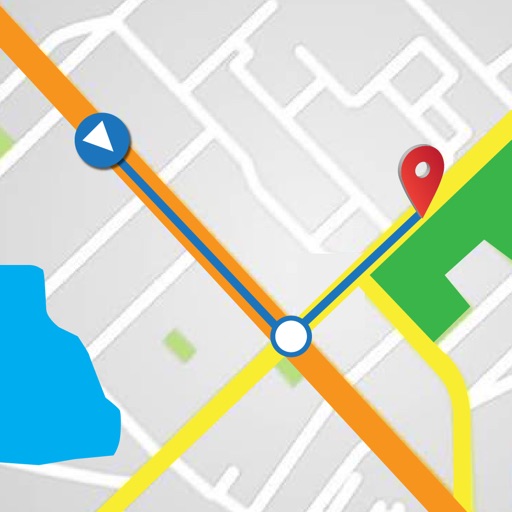
Find locations and plan routes using a 2D map. Search for points of interest or destinations. View the shortest route on the map. Navigate with a simplified interface.