Request support and connect with irrigation experts instantly. Send photos and text messages to describe issues. Chat in real time for immediate assistance. Track requests and receive updates. Access expert guidance for irrigation solutions.
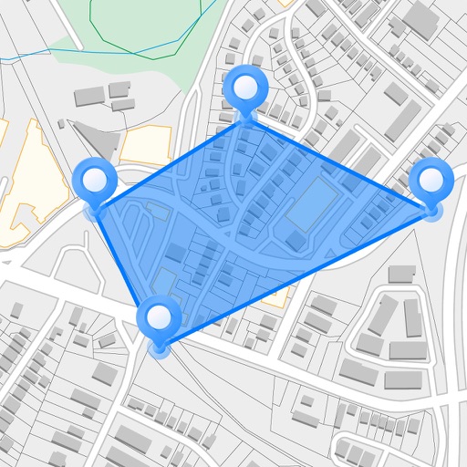
Measure areas and distances on maps by placing points and calculating the total or route length. Save and share specific locations as points of interest. Calculate GPS areas with high accuracy.
Manage farm operations by sharing real-time data with team members and selected farmers. Send direct messages, access input labels and SDSs, confirm crop details and rates, and verify preharvest information.
Manage a fleet of tractors with real-time monitoring, remote control, and maintenance tracking. Set automation schedules, analyze field data, and receive alerts for system status and performance metrics.