Download for national parks and USGS topographic regions for offline use. Access 150 NPS park and 60,000+ topographic . Use GPS navigation without internet connectivity. Save for later use in areas with no data service.
Save and edit coordinates with latitude and longitude. Use GPS to capture current position or search by keyword. View maps and annotate locations with or tags. Share data via copy or export options.
The app displays skew-t log-p charts with temperature, dew point, and winds aloft. It shows current radar, Airmets, Sigmets, and SkewT data filtered by altitude.
View GPS coordinates globally with a simple interface. Record and name waypoints during travel. Manage multiple waypoint lists. Import and export data as CSV or KML. Sync waypoints automatically via iCloud.
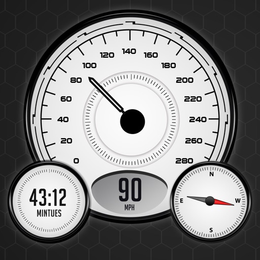
GPS Speedometer tracks real-time speed using GPS. Users can monitor current speed and record maximum speed during activities. The allows selection of units and displays speed data on a map.
Monitor real-time vehicle data including location, speed, and status updates every ten seconds. View altitude, address, and ignition status. Access tracked object information without refreshing or relogging in.
Allows users to access and monitor iPhone sensors like GPS, accelerometer, gyroscope, and barometer. View real-time from each . Export readings as CSV files. Create custom combinations and visualize graphs.
The app records GPS latitude and longitude. Users can edit location names and descriptions, view all recorded information on a list or map, and export data in multiple formats.
Display real-time speed with a digital interface and set speed alerts. Track routes on a built-in map, save trip history, and export tracks in GPX format. Switch between light and dark themes.
Track current speed with real-time GPS data. View speed and speed limits in a dynamic visual ring. Receive alerts when exceeding speed limits with color change indicators. Switch between km/h and mph. driving behavior to avoid speeding tickets.
Measure in real time using GPS and sensor data with less than 3-meter error. Track air pressure and oxygen concentration. Customize themes for personalized backgrounds.
The app records and exports user trips for geo-tagging or trip management. It displays live paths on a map and provides details like speed, distance, and altitude.
View real-time speed with a precise digital . Access an on-screen heads up display for quick reference. See interactive maps with route navigation. Track trip details including distance, time, and average speed.