Display current location using GPS, GALILEO, and GLONASS. View position on various map layers. Import and export KML files. Navigate with coordinate systems. Track movement during outdoor activities.
Plan flights with detailed aircraft profiles and radio frequency access. Calculate fuel requirements and flight times. Manage pre-flight checklists and weather data. Track in-flight performance and adjust routes as needed.
Monitor location, heading, pressure, temperature, altitude, speed, distance, and elapsed time in real-time. Track trips, share routes, and receive comprehensive built-in instructions. Customize settings and view data on a large, easy-to-read display.
Track movement with speedometer, odometer, compass, and altimeter. View fullscreen map with location. Play music and audiobooks on the go. Measure distance traveled on iPhone or iPad. Includes clean, modern interface.
Track hikes with altitude profiles and map views, including flyover features. Add comments and drop pins to mark highlights. Sync data automatically via iCloud to iPad and other devices. Stop tracking automatically upon return.
Switch between car and bike cyclometer modes. Set high and low speed limit alerts. Use HUD mode for display. Toggle between mph and km/h. Choose imperial or metric units. Calibrate speed and check GPS accuracy.
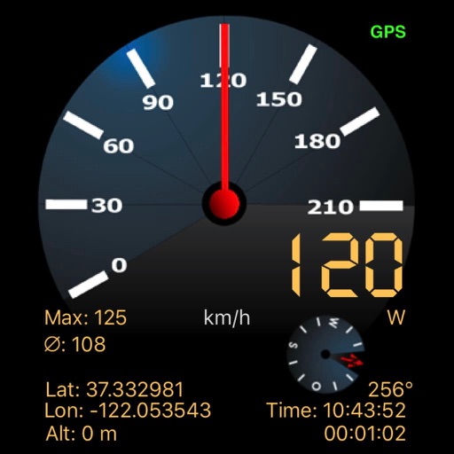
Track and distance in miles and kilometers with real-time updates. Switch between KM/H and MPH modes. Display average and maximum . Show altitude and compass. Monitor GPS signal accuracy. Use analog . Work offline without internet.
Tracks location, speed, altitude, heading, acceleration, g-force, and atmospheric pressure. Retrieves and displays current weather data. Records tracks up to 10 minutes or 10 kilometers. Plays back tracks at multiple speeds.
Navigation allows users to view property line , parcels, and public lands. Access land ownership details and map layers for 50+ states including hunting zones and restricted areas.
Track location, altitude, and direction with real-time map updates. View geographic coordinates, address, and atmospheric pressure. Use a detailed compass for navigation. Share photos with altitude, coordinates, and address data.
Provide offline with detailed points of interest. Record GPS tracks and bookmark locations. Receive turn-by-turn navigation with voice instructions in nine languages. Choose routing options for driving, cycling, walking, or shortest distance.