View real-time flight data including remaining time, flight plan, landing time, altitude, ground speed, and times at origin and destination. Track your plane's location on a map.
by Jeffrey REISBERG★ 4.58 ratingsTravelFreeData updated 2026-09-06
Manage travel itineraries with flight details, hotel bookings, car rentals, and appointment schedules. Add and view notes. Invite others to collaborate. Set privacy controls for different plans. Share updates and reminders.
Monitor elevation with a large, clear display that adjusts to your device. Choose between GPS or barometric sensors. Track real-time elevation changes. View barometric pressure in multiple units. Display accuracy details visually.
Find nearby scooters and unlock them using a QR code. Ride to your destination and park responsibly. Track location and monitor availability in real time.
Book with pre-vetted independent operators offering premium ground transportation. View driver profiles, track vehicle details, and confirm ride details before departure. Receive real-time updates and navigate using integrated maps.
The app provides flight tracking for Miami International Airport. Users can view arrival and departure boards, manage trips, and access a packing list.
Plan trips by organizing itineraries and importing reservations automatically from emails. View destinations on a map and track companions' progress. Sync reservations and activities in real time.
Search, book, view, and manage flights with real-time updates and itinerary tracking. Access boarding passes and gate information. Modify or cancel bookings directly. Receive push notifications for flight status changes.
Plan flights by comparing prices and schedules. and manage reservations. Receive real-time updates on flight status and gate changes. Track baggage and navigate airports with maps. Set reminders for check-in and security.
The app provides flight status, including delays and cancellations, for Minneapolis Airport. It offers tools to find alternate flights and includes a packing checklist for travelers.
Track bus location in real-time. Receive alerts about bus position and expected arrival time. View bus route and monitor multiple children across different schools. Access quick support via call feature.
The app allows users to order a taxi in Madrid with on-screen confirmation and real-time vehicle tracking. Users can set pickup points, view estimated arrival times, and contact the driver.
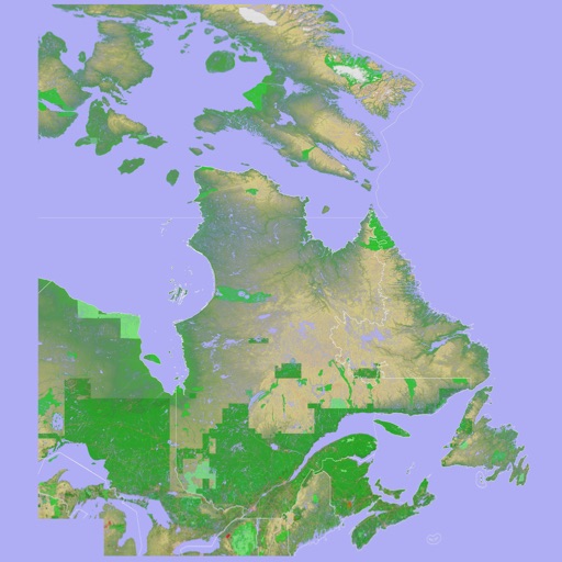
The app presents a 3D topographic map of Eastern Canada. Users can download map data for use without an internet connection, suitable for various travel methods.
Explore historical locations using geospatial data. Swipe through markers to discover nearby sites. Filter by categories to customize your view. Receive notifications about relevant historical events. View detailed information about each location.
Plan trips by selecting destination, dates, and interests. AI generates personalized itineraries with suggested attractions and activities. Sync with calendar and receive real-time updates on recommendations.
View live traffic density, road conditions, and accidents on a map. Display security cameras in real time. Receive smart alerts for speed limits. Track driving routes and monitor vehicle location. Share trip details with others.
Track real-time locations of loved ones and receive instant alerts when they arrive at or leave predefined areas. Create customizable circles for different groups. Share location updates and set safety boundaries.
The app provides real-time arrival predictions for MBTA buses, subways, and the Silver Line. Users can find nearby stops, view next arrivals, and save selected stops.
Plan trips, track flights, store documents offline
Plan trips with customizable checklists, track flight details, store documents and notes with offline access. Organize documents, set reminders, and manage packing lists without requiring an account or payment.