View field data with high-resolution imagery and machine learning alerts. Sort fields to identify top problem areas. Receive notifications about weeds, low emergence, nutrient deficiencies, equipment skips, and airborne pathogens.
Track movement patterns and analyze form during exercises. Log nutritional intake and monitor dietary habits. Set reminders for workouts and meals. Sync data across devices and view progress reports.
View real-time weather data from GOES satellites and mesoanalysis layers. Create custom maps with multiple data sources. Access free satellite layers or subscribe for advanced features. Share maps and save presets for future use.
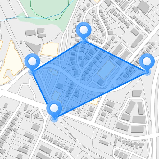
Measure areas and distances on maps by placing points and calculating the total or route length. Save and share specific locations as points of interest. Calculate GPS areas with high accuracy.