

Apps Like Drift Alert for iPhone and iPad
Ranked alternatives
Showing 101–120 of 1,000 ranked alternatives.

Meteo - by iLMeteo.it
ILMETEO srl
Check weather and track forecasts
Check current weather, wind speed, air quality, and sea conditions. View radar images and meteograms. Customize widgets. Access live webcams. Set alerts for severe weather. Track forecast changes in real time.


TidesPro: NOAA Tides & Weather
ASR Concepts LLC
Predict tides and track marine weather
Track tides and marine weather with real-time forecasts and buoy observations. View NOAA marine reports and weather data. Plan activities like fishing, boating, or beach trips. Set alerts for changing conditions.


GPX-Viewer
Kyle Modesitt
View files from cloud or device
View and manage files with customizable map displays. Import files from cloud services, local devices, or emails. Choose between Apple Maps, Google Maps, OpenStreetMaps, or custom tile sources. Adjust colors for waypoints, track points, and routes.


Navionics® Boating
Garmin International
Navigate with offline charts and features
View detailed navigational charts offline with multiple overlays. Access real-time data and historical information. Plan routes and track progress. Set waypoints and measure distances. Sync with other devices for collaborative navigation.

News 8 Now First Warn Weather
Evening Telegram Company
Get real-time alerts and forecasts
Receive real-time alerts for your location. Check current conditions and view 8-day forecasts with video updates. Access live radar and satellite images with warning overlays. Upload photos and videos of events.


Tornado Tracker by TornadoPath
Ridge Labs LLC
Track alerts and warnings
Receive live warnings with real-time tracking across all 50 states. View active warnings with polygon boundaries on maps. Access affected population and county data. Get daily activity summaries.


SeaDrive: Boat Navigation
SeaDrive LLC
Track routes, record trips, view charts
Navigate waterways with detailed charts, build routes, and record tracks. View tides and currents. Set waypoints and track progress. Share maps and access free US charts for safe boating.

Fishing Points-Lake Depth Maps
Bist LLC
Find spots and track depth
Access depth and marine charts for USA, Canada, UK, and other regions. Locate spots with AI-driven breakline analysis. Create or import boating routes with GPS and voice navigation. View HD bathymetry and sonar contours for precise planning.

qtVlm
Meltemus SAS
View grib files and track sailing routes
View grib files with detailed wind and wave data. Display basic charts and simple instruments. Use anchor alarm feature. View shapefiles like SHOM data. Receive boat position input from external sources.

WilhelmSK
Scott Bender
Monitor and control your boat's systems
Monitor and control boat systems with real-time data display. Connect to NMEA 0183, Navico MFDs, NMEA 2000, Victron, and Chetco devices. Customize dashboard layouts. View engine status, position, and sensor readings.

Tides Explorer
Lonnie Millett
Track , currents, and conditions
View tide and current predictions based on official NOAA data. Search for stations by name or location. Save favorites for quick access. Explore interactive charts for detailed information. Set alerts for specific conditions.

DONIA
andromede oceanologie
Anchor and navigate with seabed maps
Visualize seabed types including sand, Posidonia, coralligenous, and rock. Access port information, maritime regulations, and diving sites. Book mooring buoys for secure anchoring. Track anchoring locations and monitor seabed conditions in real time.
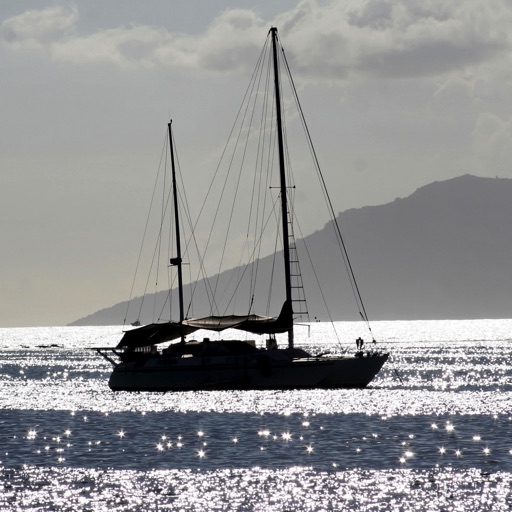
Anchor Alarm for Boaters
Ndili Technologies, Inc
Monitors boat anchor location remotely.
The app monitors an anchored boat and alerts users if it moves outside a defined region. It operates in the background, allowing simultaneous use of other applications on the device.
How we rank alternatives
Apps are ranked by functional similarity, category fit, rating confidence, and popularity.