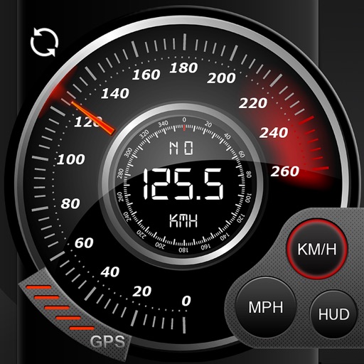
Record data including , average , distance, altitude, and elapsed time. View real-time GPS tracking with longitude and latitude. Monitor statistics and save history. Sync with devices for offline navigation.
View photographs with map locations and GPS data. Explore camera settings and AR features. Access an online gallery with new photo notifications. Purchase prints in-. Share images directly.
The app calculates the distance between lightning and the user's location. It measures the distance in meters and feet based on user input when lightning is seen or thunder is heard.
The app allows users to capture service location, date, and time with photos. It includes features for setup, photo capture with details like GPS coordinates and fraud protection, and emailing the information.
The app provides a collection of 30 measurement and utility tools. It includes features like a ruler, protractor, distance measurement using AR, and a flashlight.
Track precise location with Decimal Degrees, DMS, UTM, and MGRS formats. Access topographic maps and route planning. Set waypoints and measure distances. Share coordinates via email or messaging. Sync with GPS devices for real-time navigation.