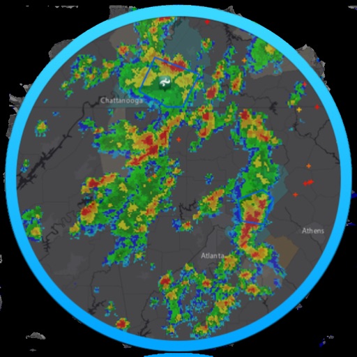
View high-resolution radar data to track precipitation and storms. Access real-time weather station updates. Follow storm chasers for live storm tracking. Receive alerts for severe weather conditions. Share radar images and weather data with others.
Access current conditions and a 7-day forecast. View real-time radar and satellite imagery with 250-meter resolution. Receive storm alerts, school closings, and road condition updates. Track future radar movements.
The app provides current weather information with radar and satellite imagery. Users can view daily and hourly forecasts, save locations, and receive severe weather alerts.
The app provides hour-by-hour forecasts and severe weather alerts. Users can track storms with interactive radar maps and receive updates for multiple locations.
Monitor weather conditions along your route with real-time , TAF, and SIGMET data. Access satellite imagery, radar, and 3D terrain. View NOTAMs and historical data for offline reference. Track storm warnings and flight visibility reports.
Access real-time data including METAR, TAF, and NOTAM reports for 50,000+ airports. View satellite maps and decoded information. Filter nearby airports by runway length and METAR/VFR availability. Save favorites and organize into groups.
The app provides hour-by-hour forecasts for the next day and week ahead. Users receive customized local forecasts and personal alert notifications for significant weather events.
View current , minutely forecasts, and 9-day predictions. Check radar, sunrise, sunset, and moon phases. Access local news and events. Display live updates on a customizable dashboard. Share data via social media.