View real-time and forecast air index data for specific locations. Check daily counts and five-day allergy forecasts. Access NOAA Doppler radar and weather maps for pollution, air , and .
Access real-time weather data through GRIB files. Download forecasts via high-speed internet or Iridium GO. View and analyze wind, pressure, and wave conditions. Navigate routes with advanced weather routing tools.
View current and 72-hour forecasts with temperature, precipitation, humidity, UV index, and air quality. Check day/night temperatures, wind, visibility, and sunrise/sunset times. Receive for severe events like hurricanes and heavy precipitation.
View global forecasts for up to 15 days with daily temperature ranges, precipitation, wind speed, humidity, and UV index. Track sunrise, sunset, moonrise, and moonset.
The app displays current weather radar data from the United States National Weather Service NEXRAD Level 3 Radar Network. It allows users to view storm motion through animation and marks the user's current location on the map.
View real-time and forecasted images for land and sea. Check precipitation maps and track patterns. Receive hyperlocal updates. Set location-based alerts. Share data with others.
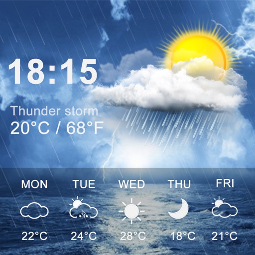
View current conditions, real-time temperature, and hourly forecasts. Check storm, rainfall, snow, humidity, pressure, wind force, and direction. Access 10-day forecasts and severe alerts.
Provides 3-day forecasts and 14-day outlook. Displays current conditions, temperature, and precipitation. Includes atmospheric pressure and wind speed. Features widgets for quick access. Automatically detects location for accurate forecasts.