Apps Like GPS Fields Area Measure App for iPhone and iPad
Areas, track routes, and navigate efficiently
Calculate distances and areas using GPS. route lengths and track movement. Access GPS Camera, Compass, and Speedometer for navigation. View Satellite, Normal, Terrain, and Hybrid maps. Locate nearby points of interest and monitor live positions.
by Gohel Prakashbhai★ 5.02 ratingsNavigationFreeData updated 2026-09-06
Track vehicles and assets in real time with route history and speed monitoring. View driver activity, including driving time, distance, and rest periods. Predict tachograph data to manage compliance and schedule efficiently.
Daily routes with automatic GPS logging. View personalized maps of traveled paths. Highlight locations visited. Save and revisit favorite spots. Share trip data with others. Sync across devices for continuous tracking.
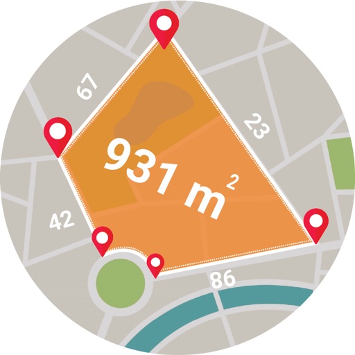
Calculate areas, plots, and distances using GPS technology. Draw and map regions on a map. Measure perimeter and of custom shapes. Save and share measurement data. Export maps in various formats.
The app calculates routes for various vehicles and includes Michelin selections for points of interest. It offers GPS navigation with traffic information and trip cost calculation based on vehicle type and fuel prices.
Displays current position via GPS with a map and sea level measurement in meters. Converts meters to feet using a calculator. Measures barometric pressure with a sensor for altitude tracking. Alerts for potential flooding.
Distances and heights using the camera. Calculate surface area and perimeter. Generate 3D models from photos. Use a bubble level and slopes. Perform various geometric calculations with precise camera-based measurements.
Measure distances and angles using a rangefinder and inclinometer. View real-time compass direction and GPS location. Overlay maps and take geo-tagged photos or videos. Calculate navigation routes and track elevation changes.
Distances, areas, and routes on maps using standard, satellite, terrain, and hybrid views. Calculate total area between points or along a route. Display coordinates in UTM and MGRS formats.
Track and save GPS locations for cars, hotels, and other places. View maps in Roadmap, Satellite, Hybrid, and Terrain modes. Share locations quickly and search for points of interest with GPS navigation.
Measure distances, perimeters, and areas by placing pins on a map. Calculate dimensions and save measurements. Share results via email or export as a file. Sync with other devices for collaborative projects.
Measure distances, heights, and areas using AR and LiDAR technology. Tap to place markers and view real-time measurements. Sync with Apple Health to track progress. Share measurements via email or messaging.
Navigate cities with real-time GPS directions for driving, walking, or public transport. View traffic-aware routes, track bus schedules, and find obstacle-avoiding walking paths. Get precise location data and update routes as needed.
Track cycling speed, distance, and route in real time. Choose from three display modes: digital, analog, or map. View ride history and manage past rides. Automatically stop the timer when movement stops. Swipe to navigate between screens.
Measure objects by taking a photo with a smartphone or tablet. Capture real-time dimensions like height, width, area, and length. Share measurements via Cloud. Sync with laser device for accurate data. Export measurements in various formats.
Navigate with turn-by-turn instructions and real-time guidance. Choose routes for car, motorbike, bicycle, or walking. Add way-points for optimized paths. Locate nearby hotels, restaurants, hospitals, and ATMs .