Apps Like GPS Fields Area Measure App for iPhone and iPad
Areas, track routes, and navigate efficiently
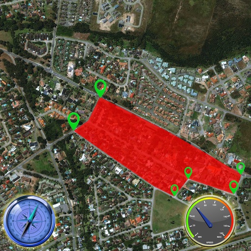
Calculate distances and areas using GPS. route lengths and track movement. Access GPS Camera, Compass, and Speedometer for navigation. View Satellite, Normal, Terrain, and Hybrid maps. Locate nearby points of interest and monitor live positions.
by Gohel Prakashbhai★ 5.02 ratingsNavigationFreeData updated 2026-09-06
Measure distances and angles using a rangefinder and inclinometer. View GPS coordinates and map overlays. Take geo-tagged photos and videos. Use a compass and navigation calculator for orientation and route planning.
GPS tracks current speed, distance, and altitude. Displays average and maximum speed. Shows speed limits in real time. Supports mph, km/h, and knots. Measures travel time and battery level. Works offline.
Location with latitude, longitude, and elevation. Use compass and speedometer for navigation. paths and share data or current location with friends. View battery and pressure readings. Support 3D touch for iPhone6 and iPhone6 Plus.
Track bus locations using real-time GPS data. Save favorite stops for quick access to arrival times. Plan trips with step-by-step transit directions from Apple Maps. Receive arrival notifications to stay informed.
Track speed with accurate GPS measurements and view average and maximum speed per trip. Choose units and monitor distance traveled and estimated travel time. Use turn-by-turn navigation to build routes.
Display current location using GPS, GALILEO, and GLONASS. View position on various map layers. Import and export KML files. Navigate with coordinate systems. Track movement during outdoor activities.
Provide turn-by-turn voice with real-time traffic updates. Display maps and satellite views. Access offline maps and GPS directions without internet. Find nearby food, events, and activities. Include Google Street View for location details.
View real-time GPS maps and switch between map and views by holding the device. Track heading, , altitude, latitude, longitude, speed, and temperature. Use a for accurate navigation and monitor speedometer and temperature readings.
Lets users overlay photos on Apple Maps for real-time navigation. Photos rotate and scale with movement. Users can track GPS paths, tag locations, and mark waypoints.
For active, pending, and recently sold properties in Arizona. Use GPS or map to locate listings near you. View high-resolution photos and detailed property information. Filter by address, city, zip, MLS#, or bed count. Draw custom areas on the map.
Measure geographical orientation with a precise . Display longitude, latitude, altitude, weather, and magnetic field data. Record location points and view saved travel history.
3D maps and views of locations. Track real-time location with traffic data. Calculate distance from home. Plan routes and explore famous sites. Find directions and covered area during navigation. Use 3D world map for trip planning.
Track real-time bus locations and predicted arrival times at stops. Find nearby stops by zooming. Pin frequently used stops on the map. Share trip details with others. View route maps and service alerts.
Provide offline with detailed points of interest. Record GPS tracks and bookmark locations. Receive turn-by-turn navigation with voice instructions in nine languages. Choose routing options for driving, cycling, walking, or shortest distance.
– uses AR to display a digital protractor and on the device screen. Users can precisely, calibrate the , and save measurements. The supports both indoor and outdoor use for accurate readings.