
FleetLocate TrailerView
Spireon, Inc.
Track trailer location and status in real
Track trailer locations in real-time using GPS. View distance and status updates on a map. Receive cargo condition reports to confirm readiness for pickup.

Areas, track routes, and navigate efficiently
Calculate distances and areas using GPS. route lengths and track movement. Access GPS Camera, Compass, and Speedometer for navigation. View Satellite, Normal, Terrain, and Hybrid maps. Locate nearby points of interest and monitor live positions.
Showing 221–240 of 1,000 ranked alternatives.
Spireon, Inc.
Track trailer location and status in real
Track trailer locations in real-time using GPS. View distance and status updates on a map. Receive cargo condition reports to confirm readiness for pickup.

7 sols media d.o.o.
Track location and share real-time updates
Track location and route using GPS. Share real-time updates with anyone via web browser. No installation or sign-up required. Let others follow your progress during runs or trips. Adjust sharing settings as needed.


CEBINDEKI PAZAR E-TICARET ALISVERIS HIZMETLERI SANAYI VE TICARET LIMITED SIRKETI
Speed in mph, km/h, and knots
Display current speed in mph, km/h, or knots with large fonts. Show traveled distance and optional average/max speed. Include city name and compass. Use GPS for accurate speed tracking. Switch between base maps for driving visibility.



Fietsknoop BV
Plan custom bike routes with navigation.
The app allows users to plan custom bike routes in The Netherlands, Belgium, and Germany using nodes. Saved routes can be shared via mail and include GPS navigation with spoken directions.

婷 张
Monitor earthquakes and track real-time data
Monitor earthquakes with real-time updates and GPS compass maps. Display professional data including altitude, orientation, air pressure, and coordinates. View environmental metrics like humidity and temperature.


4Digsoft Technology Limited
Measure land and distance
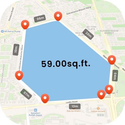
Measure land , distance, and perimeter using GPS. Create projects, add team members, and sync measurements in real time. Set permissions for different roles and collaborate on shared projects. Export data and view detailed reports.

Trufi Association e.V.
Navigate with route suggestions and search
Navigate door to door with route suggestions for bus, minibus, and car. Search streets, crossings, and points of interest with suggestions. Save favorite locations. View real-time GPS position.

SHIGETO TAKAGI
Save coordinates and edit map data
Save and edit coordinates with latitude and longitude. Use GPS to capture current position or search by keyword. View maps and annotate locations with or tags. Share data via copy or export options.

Minh Nguyen
View location data and save coordinates
View current location details including latitude, longitude, altitude, and address in Decimal or DMS format. Track trip data such as distance, speed, and maximum speed. Save location and trip information for later review.

Caramba App Development
Measure spaces with AR precision
Measure objects using AR by aiming your camera and dragging a virtual ruler. Calculate height, width, length, and area. View real-time measurements and save results for later reference.


Laurence Dunkelman
Find bus routes and track real-time arrivals
Navigate OC Transpo buses with real-time arrival times and schedules. View bus routes and locations on a map. Locate bus stops with StreetView. Access daily and next-day schedules. Plan trips using built-in travel planners.

Dima Bart
, area, and paths on maps
Distances between points or calculate area of locations. Draw paths on maps or tap to add points. Record movement automatically while walking, running, or cycling. Save measurements for later review.

Naik Ur Rehman
Rotate and zoom live 3D maps
Rotate and zoom the 3D world map to explore locations in real-time. famous landmarks and global wonders with detailed descriptions. Access live camera feeds and location-based views to see current scenes around the world.
Apps are ranked by functional similarity, category fit, rating confidence, and popularity.