View nautical charts online and offline. Use satellite maps for navigation. Plan for sailboats and powerboats. Access real-time AIS data. Get global marine weather with temperature, wind, tides, and currents.
View marine forecasts for U.S. coastal zones. Check wind speed, wave height, and surf conditions. Access one-touch NOAA forecasts for today, tonight, and the week. Add locations for custom alerts.
Monitor boat location with real-time alerts when it moves outside a set radius. Adjust and recalculate the monitored area precisely. View location history as a series of points. Connect two devices for remote monitoring.
The app helps users find and filter places and services, with or without an internet connection. It offers extensive filters and thousands of unique points for outdoor adventures.
Track real-time bus, boat, and transit updates. Search for stations and find directions. View routes and traffic lines. Support multiple transport modes including BMTA, MRT, BTS, ferry, and more.
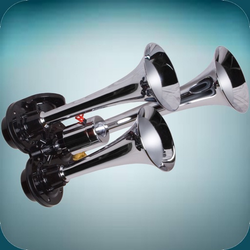
The app offers a variety of loud horn and siren sounds. Users can select sounds like police sirens, air horns, boat horns, and truck horns to use as ringtones or alert sounds.
Battery levels, track GPS location, and check bilge water and pump runtime. Receive real-time sea condition updates and cabin temperature and humidity.
Request on-demand boat such as fueling, cleaning, and maintenance. Schedule appointments with vetted local providers. Track service history and manage provider preferences. Receive notifications for service updates and payment confirmations.
Fishing maps show verified catch locations, boat ramps, and underwater structures. Users can mark and manage private waypoints. Track fishing trips, log catches, and access real-time weather and tide forecasts.
Monitor and manage multiple HUBs from one interface. View boat basic information in real time. Access 24/7 updates and system status. Control device settings and receive alerts. Track fleet activity and manage user permissions.