Measure direction and elevation with a digital compass and inclinometer. Access real-time GPS and map data. Navigate using location-based routes. Share coordinates and track movement history.
Manage 2-Step Verification codes with a clean, organized interface. View and organize authentication codes for multiple accounts. Sync codes across devices. Receive notifications for code updates. Disable or remove codes remotely.
Shows elevation in meters or feet for specific map locations. Users can tap on the map to check altitude. Data is displayed clearly with units toggle. No additional features mentioned.
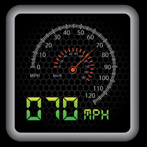
The app provides a heads-up display for a car, offering GPS-based speed information with MPH and KPH options. It includes digital and standard font modes, 12 and 24-hour clock options, and portrait and landscape orientations.
Track shots and environmental conditions including wind speed, elevation, temperature, humidity, and ground conditions. Receive precision club recommendations based on shot shape and environmental data.
The app provides access to device GPS functionality, displaying heading, compass, map views, speed, distance, coordinates, and altitude. It also offers weather information including temperature, humidity, pressure, cloud cover, and wind speed.
The pump frequency and manage fan operation on the portable air conditioner. Monitor temperature data over time and share it. Access local weather conditions and forecasts. Adjust settings for optimal cooling in vehicles, boats, or airplanes.
Navigation displays real-time telemetry data including location, heading, altitude, speed, distance, and elapsed time. Users can customize display modes, units, and configurations by tapping or long-pressing values.
Track speed with accurate GPS measurements and view average and maximum speed per trip. Choose units and monitor distance traveled and estimated travel time. Use turn-by-turn navigation to build routes.