Provides precise readings with deviation error measurement and correction. Displays map navigation and augmented reality features. Tracks map markers and functions in all device orientations.
by Augview Ltd★ 4.02 ratingsNavigation$12.00Data updated 2026-09-30
Display , latitude, altitude, and GPS speed. Show real-time weather, pressure, and wind direction. Track location with GPS and mobile sensors. View geographical data for accurate positioning.
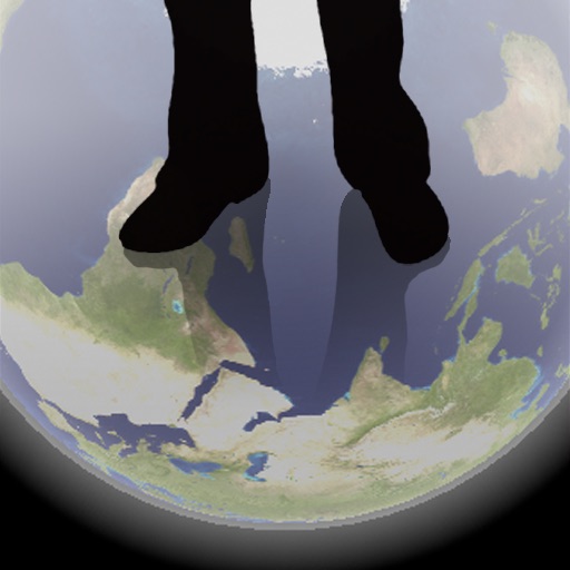
The app shows a transparent view of the earth, allowing users to see the other side of the world beneath their feet. It displays the positions of major cities on a reversed blue marble through a camera overlay view.
Trace paths on maps to analyze elevation, distance, gradient, and bearing. View elevation and grade profiles of traced routes. Calculate area of arbitrary paths. Use satellite or default map views for terrain study.
Display current direction, altitude, latitude, and longitude. Show real-time barometric pressure and movement speed. Track geographic location. Switch between "Classic" and "Sunset" visual themes with premium color schemes.
Track pot depths, locations, and catch totals. Access NOAA marine maps with water depth data. Navigate to pots using map and compass. View heatmap modes for map navigation. Add notes to individual pots.
The app provides instrument training for general aviation pilots. Users can manipulate map elements and observe instrument responses in Learn mode, or determine aircraft location based on instruments in Test mode.
Navigation provides real-time positioning using iPhone/iPad sensors. Displays maps and routes. Offers -and- interface. Uses digital filtering and stochastic models for accuracy. Only functions in airplanes.
Displays wind rose and location details including name, latitude, longitude, and altitude in meters or feet. Saves position data for any global location. Requires location services to detect geographical position.
Find nearby places with distance and travel time. View ratings and reviews. Use a to locate the nearest joint. Track your journey with steam technology indicators. Explore maps or spin a to discover new options.
Find street addresses and zip codes using map and compass features. Search for food and gas locations along travel routes. View speedometer readings during navigation.
Track boat movement with a showing direction. View current in knots, miles, or kilometers. Set limits and switch units. Display a map of your cruise route and share it. Log maximum and average .
Track vehicle speed with a digital speedometer showing current, average, maximum speed, and total distance. Use offline mode for uninterrupted performance. Access two HUD modes for windshield display. Choose from 10 themes for customization.