Plan flights with route mapping, fuel calculations, and weather data. Track aircraft in real time. Access offline maps and charts. Set flight parameters and monitor navigation. Share flight data with other .
Calculate dimensions and properties of 2D and 3D shapes. Input measurements to determine area, volume, surface area, and perimeter. View interactive 3D models of solids like cube, sphere, and cylinder. Switch between 2D and 3D views for each shape.
Provides a 3D floating with realistic OpenGL graphics. Users can switch between nine modes, including direct read, traditional, and rosette styles. It displays degrees, quads, or mils.
View data with a display and HUD options. Track trips, record , distance, and duration. Monitor average , top , altitude, and switch between mph and km/h.
The app organizes workouts and helps users reach goals for strength, muscle size, or weight loss. It offers 390 exercises with instructions and animations, plus flexible tracking for various workout types.
The app displays a clinometer, also known as a tilt meter, using the device's accelerometers. It shows Roll and Pitch gauges, with options for compass display, magnetic or GPS heading, and adjustable alert sounds.
View nautical charts in S-57, S-63, iENC, and BSB/KAP formats. Use external NMEA/AIS data over WiFi. Display official HO S-57/S-6 charts. Navigate river, channel, and harbor routes. Access real-time positioning and vessel tracking data.
View detailed and with vector-based maps that remain clear at any zoom level. Pan, tilt, and rotate for an immersive experience. Purchase additional features within the for expanded functionality.
Tracks location, speed, altitude, heading, acceleration, g-force, and atmospheric pressure. Displays and records current weather. Plays back tracks at multiple speeds. Provides suggested routes for reference. Allows pausing and resuming tracking.
Monitor and altitude using the device's internal sensor. Track changes to predict weather patterns. Provides altimeter readings for elevation awareness.
Visualize approaches and landings with 3D views of airports and their surroundings. Access aviation weather forecasts, NOTAM data, runway information, airport restaurants, and webcams. Track real-time conditions and navigate airport layouts.
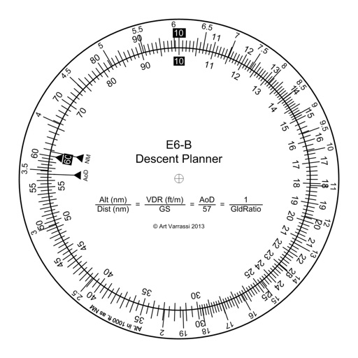
Manage altitude with customizable VNAV settings for precise control. Set altitude alerts and use ALT HOLD mode for minimal setup. Track vertical navigation parameters and adjust flight paths accordingly.