Apps Like onX Hunt: GPS Hunting Maps for iPhone and iPad
Plan hunts, view , track land boundaries
Plan hunts by viewing species distribution and 3D . Access units and land boundaries. Save offline and mark waypoints. Track weather conditions and property lines. Use satellite, lidar, and hybrid basemaps for terrain analysis.
by onXmaps, Inc.★ 4.9274,529 ratingsNavigationFreeData updated 2026-10-24
Plan trips by comparing and combining maps. Sync trip details between Mac and iOS devices. Use on-trail tools for navigation. Access tips to improve navigational skills. Track progress and stay safe in the backcountry.
The app provides map display for land and sea with multiple map layers including OpenStreetMap and Apple Maps imagery. It offers features like offline map data, places of interest search, and waypoint management with GPX file support.
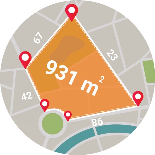
Calculate areas, plots, and distances using GPS technology. Draw and map regions on a map. Measure perimeter and of custom shapes. Save and share measurement data. Export maps in various formats.
Manage hunting and fishing licenses by buying, renewing, or viewing details. Store and access personal information securely. Map outdoor areas, add annotations, and save location-based notes for future reference.
Navigate with live 3D satellite maps and voice guidance. View detailed road and building models. Access fishing and travel exploration tools. Use practical navigation features for precise route planning and real-time updates.
View marine with satellite and terrain overlays. Access local weather forecasts. Use NOAA raster for navigation. Track position and route. Share maps and waypoints. Work offline without mobile coverage.
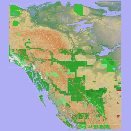
The app provides a 3D topographical map of Western Canada. Map data downloads to the device for use without an internet connection, allowing users to view terrain features as small as ten meters.