
Apps Like onX Hunt: GPS Hunting Maps for iPhone and iPad
Plan hunts, view , track land boundaries
Plan hunts by viewing species distribution and 3D . Access units and land boundaries. Save offline and mark waypoints. Track weather conditions and property lines. Use satellite, lidar, and hybrid basemaps for terrain analysis.
onX Hunt: GPS Hunting Maps screenshots
Ranked alternatives
Showing 461–480 of 1,000 ranked alternatives.
GPS Location
Acceleroto
Share coordinates via SMS or email
Displays current coordinates, date, and time with a scrollable map. Share coordinates via SMS, email, Twitter, Facebook, or Weibo. Attach screenshots when sharing via email, Twitter, or Facebook. Copy coordinates to locate places using crosshairs.


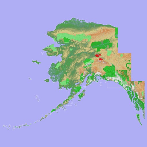
Scenic Map Alaska
Mark Granger
Explore 3D topo maps offline
View 3D topographic maps of offline with vector data. Navigate by car, boat, plane, or on foot. Access worldwide satellite maps online with automatic caching. Toggle between map types and zoom to any location.


Scenic Map Central USA
Mark Granger
Explore 3D maps offline worldwide
Navigate with a 3D topographic map of the USA. View detailed terrain and vector data offline. Use in vehicles or during outdoor activities. Access global maps online with automatic caching for offline use.


Great Lakes HD Nautical Charts
Flytomap
Navigate with marine and outdoor maps
Navigate with offline marine, lake, and outdoor maps. Access worldwide satellite and terrain overlays. View local weather forecasts. Use NOAA, USGS, and DRG data for detailed charting.


Minnesota Lakes Fishing Charts
Flytomap
Worldwide marine lake outdoor maps
The app provides worldwide marine, lake, and outdoor maps, satellite imagery, and terrain features. It offers local weather forecasts, tide data, and community information for boaters and fishermen.


Scenic Map Eastern USA
Mark Granger
Explore 3D maps offline worldwide
Navigate using a 3D topographic map of the USA with offline access. View vector map data without internet. Use in vehicles or during hikes. Switch to global online maps with automatic caching for areas without coverage.
How we rank alternatives
Apps are ranked by functional similarity, category fit, rating confidence, and popularity.