

Apps Like Boating Logbook: Skipper for iPhone and iPad
Record and store all sea activities.
The app records boat trips with GPS position, course, speed, and duration. Users can log weather, crew, boat details, and incidents, with access to speed and distance statistics.
Boating Logbook: Skipper screenshots
Ranked alternatives
Showing 541–560 of 1,000 ranked alternatives.



Ryotei - GPS Tracker
Thor Mikashima
Record and relive travel journeys.
The app records user routes with GPS, allowing users to relive journeys using maps, photos, and speed data. Users can view color-coded tracks by speed or elevation and browse photos taken along the route.

Retrace
reid holmes
Record activity and track GPS data
Record GPS tracks for hiking, running, or biking. View distance, speed, and elevation in real time. Display map location with data or use grid view without it. Show elevation profiles with waypoints for detailed route analysis.

MyFieldTracker
MyShoppingHelper, LLC.
Track areas with ArcGIS maps and GPS
Allows users to define harvesting areas and stream boundaries using ArcGIS map data. It supports iPad with GPS boosters for location tracking. Users can manage map layers and attributes for forestry planning.

Trip Tracker – GPS Speed Log
Hiep Pham
Track trips, record data, visualize routes
Records trips automatically, tracking distance, duration, elevation, top , and overspeed events. Displays data on a map with visual markers for parking, top , and overspeed points. Allows users to save trips and view detailed summaries.

NMEAremote LITE
zapfware
Navigate, track, and access real-time data onboard
Access real-time marine data including navigation, wind speed, and water depth. Connect iOS devices to a boat's network for instant information. View critical data on a touchscreen interface. Sync with NMEA systems for accurate readings.

GetHomeSafe Personal
Get Home Safe Limited
Welfare monitoring for recreational activities and travel.
The app informs assigned contacts about user activities, destinations, and expected check-in times. It automatically notifies contacts if a user fails to check in on time, relaying real-time location and alert status.

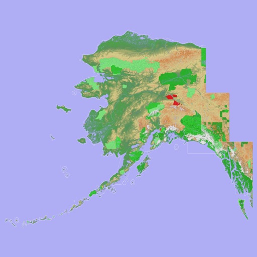
Scenic Map Alaska
Mark Granger
Explore 3D topo maps offline
View 3D topographic maps of offline with vector data. Navigate by car, boat, plane, or on foot. Access worldwide satellite maps online with automatic caching. Toggle between map types and zoom to any location.

CoordCalc
Justin Graham
Calculate distance and bearing between points.
The app calculates distances and bearings between two points using latitude and longitude. It can also determine a final position from a starting point, distance, and bearing.


Elevation Tracker
Arlo Leach
Track , climb, and descend
Track time, speed, and distance during workouts. Monitor current and total climbing or descending. View profiles and route maps. Display heart rate and time spent in training zones when paired with an Apple Watch or chest strap.


How we rank alternatives
Apps are ranked by functional similarity, category fit, rating confidence, and popularity.