

Apps Like Boating Logbook: Skipper for iPhone and iPad
Record and store all sea activities.
The app records boat trips with GPS position, course, speed, and duration. Users can log weather, crew, boat details, and incidents, with access to speed and distance statistics.
Boating Logbook: Skipper screenshots
Ranked alternatives
Showing 421–440 of 1,000 ranked alternatives.


GPS Speedometer - Track Speed
Bhavik Savaliya
And distance in real time
Vehicle with GPS for cars, bikes, and boats. Display in mph, km/h, and knots. Use analog ranges for different vehicle types. Monitor odometer readings for distance traveled.

aSmart HUD
Vitalijs Lennojs
Vehicle digital dashboard with many features.
The app visualizes current speed, trip time, and weather forecasts. It includes a HUD mode for a reflected display on the windshield and offers music control and photo capture features.

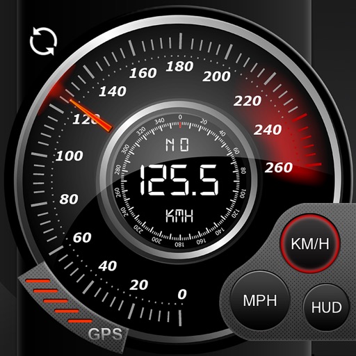
Speedo GPS Speed Tracker, Car Speedometer, Cycle Computer, Trip Computer, Route Tracking, HUD
Kevin Siml
Track , distance, and
Record data including , average , distance, altitude, and elapsed time. View real-time GPS tracking with longitude and latitude. Monitor statistics and save history. Sync with devices for offline navigation.


Lake Champlain – Boating Map
Vishwam B
Navigate with real-time marine charts
View nautical charts for boaters, anglers, and sailors. Overlay charts in a prioritized order based on scale. Navigate continuously without manual chart changes. Access small craft and harbor charts instantly. Adjust chart display for easy reading.

Digital Speedometer: HUD Speed
Youness Zaouda
Track with real-time precision
Track with GPS-based real-time analytics. View current , historical data, and location markers. Set limits and receive alerts when exceeded. Export data for review and share results.


Sensors
Piet Jonas
See device sensors all together.
The app displays built-in device sensor values including acceleration, heading, pressure, position, altitude, and speed. It also retrieves location name and elevation from GeoNames, and local weather data from World Weather Online.
Tides US
Loft Labs Interactive Inc
Live tide information for planning activities.
The app provides live tide information for planning activities. Users can view tide graphs, moon phases, and sunrise/sunset times for approximately 1870 stations across the US and Canada.

iPlotter Solent
Colin Porteous
Plan routes with waypoints and calculate true
Create passage plans by selecting waypoints from a database. Calculate true course and distance. Automatically determine magnetic variation and derive magnetic heading.


GPSLocator: Run, Hike & Sail
Ioannis Pinakoulakis
Real-time GPS tracking for outdoor activities.
The app provides real-time GPS tracking for outdoor activities. It offers route planning, navigation, and track recording with live statistics, all while ensuring user privacy with no data collection.


CityGuide GPS-navigator
GEOPHONE GROUP INTERNATIONAL Oy
Navigate cities with updated information.
The app offers automatic map and traffic regulation updates, including signs and speed limits. It provides 24-hour traffic jam information and suggests alternative routes during trips.
How we rank alternatives
Apps are ranked by functional similarity, category fit, rating confidence, and popularity.