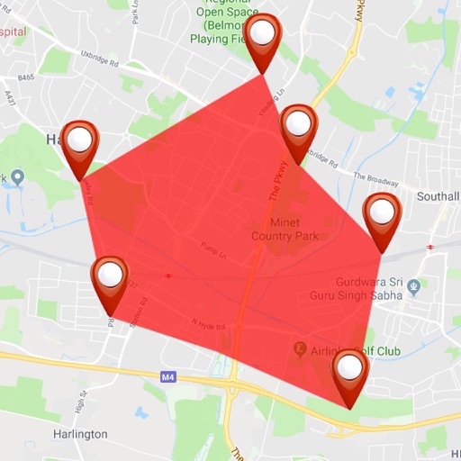
The app displays the distance to nuclear power plants from a selected point. Users can view a map showing zones around power plants and selected locations, with options for different distance units and map search functionality.
Capture photos with integrated map data and weather information. Adjust settings including grid, aspect ratio, and manual map options. Edit images with map overlays and share directly.
Track user location and send real-time coordinates
Track user location using GPS and wireless communications. Send real-time coordinates and user ID to the system. Enable situational awareness and emergency service deployment. Requires Central Authorization.
The app provides past and future weather forecasts. It features a graphical dashboard and a world map for location selection, with options for date and time picking.