Edit data with a user-friendly interface. Modify complex structures easily. Use smart tools to prevent errors. Validate syntax in real time. Export edited files directly.
by Richard Wuerflein★ 0.00 ratingsDeveloper ToolsFreeData updated 2026-09-06
View and edit documents with support for PDF, Word, Excel, PPT, TXT, and more. Copy text, search, highlight, and annotate PDFs. Edit Word/Excel files lightly. Add PPT notes and use text-to-speech. Sync files via cloud with folders and tags.
Videos to reduce file size. Trim clips to remove unwanted parts. Convert between formats. Save storage space by optimizing media. Edit videos with cutting and format conversion tools.
Unwanted elements from photos using object removal tools. Isolate main subjects with background removal. Replace backgrounds with solid colors, custom images, or transparency. Export edited photos in various formats.
Edit and manage PDFs with OCR, fill and sign forms, merge and split documents, add annotations and watermarks. Password protect files and chat within PDFs. No accounts, ads, or subscriptions. Fully offline and secure.
Measure distances, perimeters, and areas by placing pins on a map. Calculate dimensions and save measurements. Share results via email or export as a file. Sync with other devices for collaborative projects.
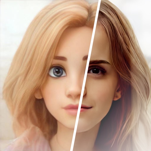
Edit photos with , oil painting, art, dream, sketch, magic, anime, and comic filters. Apply effects to selfies or images. Save and share edited photos directly.
Streamline device installation with wireless and wired connection support. Scan and transfer data directly. Initiate and complete installations without a laptop. Reduce errors and save time during setup processes.
Track and softball game scores with a full inning . Record runs, hits, errors, and pitch counts. Update scores in real time and share updates instantly. Syncs with multiple devices for team coordination.
Record waypoints and obstacles along a bore path using GPS. Log entry and exit pits, utility crossings, and other job-specific details. Replace paper-based planning with digital mapping and real-time data collection.