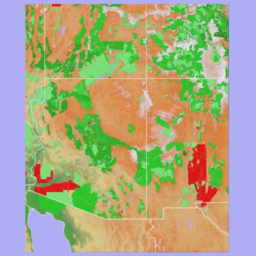
Track location and map terrain with real-time GPS data. Create and save custom routes. Mark waypoints and measure distances. Share maps and routes with others. Sync with devices for offline navigation. View elevation changes and terrain details.
by Ecowave Resources LLC★ 5.02 ratingsNavigationFreeData updated 2026-09-06
Navigate with live 3D satellite maps and voice guidance. View detailed road and building models. Access fishing and travel exploration tools. Use practical navigation features for precise route planning and real-time updates.
The app provides 3D topographic maps for iPad and iPhone. Vector map data is contained within the app for offline use, supporting navigation in various environments.
Manage construction projects with tools for quality control, safety tracking, and progress monitoring. Log inspections, assign tasks, and share reports. Integrate with project schedules and document management systems.
Provides historical context of the British and US Virgin Islands. Lists national parks, regulations, and dive sites with operator contacts. Offers planning resources for cruisers, including routes, safety info, and emergency contacts.
View detailed trail maps for /Hermagor-Pressegger See Ski Resort. Navigate open trails by skill level, from blue runs to black slopes. Find ski lifts, rest areas, and terrain features. Track elevation and distance.
Navigate using risk-aware routing that balances efficiency and safety. Choose routes based on real-time data and historical crime patterns. View customized city maps and adjust preferences for safety or speed.
Monitor heavy machinery with real-time location tracking and performance data. Receive instant alerts for anomalies or maintenance needs. View operational insights to optimize efficiency and manage equipment remotely.