Areas using GPS coordinates or manual input. Calculate land, property, or dimensions. Save and export measurements in various formats. Sync data across devices for accurate tracking.
Search destinations, get shortest routes, navigate
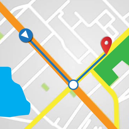
Find locations and plan routes using a 2D map. Search for points of interest or destinations. View the shortest route on the map. Navigate with a simplified interface.
The app provides access to topographic maps, aerial photos, and cadastral parcels for Luxemburg. Users can search for places, choose from over 100 data layers, and share maps.
Track speed and distance in real time with live activity updates on lock screen and Dynamic Island. Record activities in background and export tracks as GPX files. Support multiple units and dark mode. Pause and auto-resume tracking.