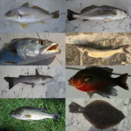
The app provides access to hunting and fishing regulations, license applications, and campsite reservations. It also features GPS-enabled maps of public hunting and fishing areas within South Dakota.
Track daily steps and set movement goals. Invite friends to join races. Receive positive memes and news after completing race legs. Chat with friends during walks. Sync with fitness trackers for step counts.
Find nearby bikes, e-bikes, and electric scooters for ride requests. View real-time availability and pricing. Pay for rides through the . Track route and estimated arrival time. Receive notifications about ride status and vehicle location.
NAVITER - Informacijske tehnologije in druge storitve, d.o.o
Record flights and track your path
Record flight data using Bluetooth-connected instruments. Display live weather and traffic information. Provide guidance for safe landing approaches. Sync with external flight devices for real-time data sharing.
Play as a lego character in a side-scrolling action game. Control movement, jump, and use a limited jetpack for flight. Switch between roads to avoid obstacles and collect colored materials. Combine materials to create diamonds.
Simulate RC flying with realistic flight mechanics and crash recovery. Choose from 12 models and 3 landscapes. Learn to fly, practice maneuvers, and explore different environments. Adjust weather conditions and save progress.
Lets users select from over 400 missions and more than 16 aircraft. Choose airports and fly over New York City. Simulate weather conditions including clear sky, thunderstorms, and turbulence. Adjust aircraft physics settings and track progress.
Track and adjust workout intervals for Tabata, HIIT, boxing, crossfit, running, weightlifting, EMOM, and WOD routines. Modify sets, workout, and rest durations during sessions. Customizable fitness planning with real-time adjustments.
View real-time flight conditions and site information. Explore launch and landing sites globally. Access weather forecasts from multiple providers. Watch live webcams and view photos of locations. See valley wind patterns with directional arrows.
Log flight details with time, location, and notes. Track multiple drones. View maps and download PDF logs. Use a clean, intuitive interface for flight logging.