The app offers unit conversions for acceleration, angle, area, density, distance, energy, force, mass, power, pressure, speed, temperature, time, and volume. All conversions are performed on a single screen.
Track GPS device status in real time with live speed and location updates. Send commands via TCP protocol. View static and offline time logs. Access traffic and satellite layers. Generate reports and playback sessions.
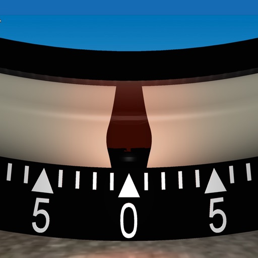
The app displays a clinometer, also known as a tilt meter, using the device's accelerometers. It shows Roll and Pitch gauges, with options for compass display, magnetic or GPS heading, and adjustable alert sounds.
View GPS tracking units from on your iPhone. Display unit list with current location and status. Tap a unit to see its location on a map. Access real-time tracking without logging into the website.
Enter coordinates to set waypoints. Navigate to locations using latitude and longitude. View maps with metric or customary units. Track direction and distance. Save and recall multiple waypoints.
Control the via Wi-Fi with FPV support for real-time video and clear photo display. Enable GPS positioning and smartphone following flight. Record and view videos and photos from the drone.
Navigation provides offline maps for climbing . Users can access GPS location tracking without internet. View detailed routes and place names. Check current position during outdoor activities. Sync with GPS for accurate navigation in remote areas.
Record video in low, medium, and high resolutions with adjustable settings. Mount device to dashboard for front-facing recordings. Save and share videos. Use footage for insurance claims in case of accidents.
Take photos and embed GPS location data. Add latitude, longitude, date, and time. Shoot videos and include watermarks. Add altitude and magnitude information. Share location-based content with others.
Measures roadway curve angles in degrees. Calculates combined effects of superelevation, vehicle roll, and lateral acceleration. Provides advisory speed recommendations for horizontal curves. Syncs with devices for data storage and analysis.
Calculate distance and heading along great circle.
The app calculates distance and heading along the great circle between two positions. It uses GPS for the start position or allows own input, and provides GPS speed and course.
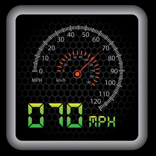
The app provides a heads-up display for a car, offering GPS-based speed information with MPH and KPH options. It includes digital and standard font modes, 12 and 24-hour clock options, and portrait and landscape orientations.
Monitor , distance, and travel statistics in real time. Display data on a heads-up display for easy viewing. Track performance metrics and save session data for later review. Sync with devices to share results.
View current speed with a scalable . Track total distance and trip data including max and average speed. Export trip data as GPX, CSV, or KML files. Receive alerts when speed exceeds or falls below set limits.