Land using GPS technology. Define boundaries on maps to calculate plot sizes. Calculate distances and areas for properties or regions. Save and share measurement data. Sync with mapping services for accurate results.
Track location with live coordinates and altitude. Convert GPS data to readable addresses. Monitor speed and heading for motion tracking. Access real-time environmental data for navigation.
Navigate spaces with precise accuracy. Use the to find locations, access floor plans, and receive turn-by-turn directions. Interact with maps, set favorite places, and get real-time updates on building layouts.
View detailed and with vector-based maps that remain clear at any zoom level. Pan, tilt, and rotate for an immersive experience. Purchase additional features within the for expanded functionality.
Capture photos with embedded GPS coordinates, date, and time stamps. View map overlays and location details directly in images. Share geotagged photos with precise timestamps and location data.
Use to view a digital overlay. Navigate using GPS for real-time directions. Check accuracy based on device sensors. Adjust orientation for precise navigation.
Manage and organize addresses with search, sorting, and labeling features. Save locations for easy access. Set favorites for quick retrieval. Sync addresses across devices. View and edit details directly.
Rally racing navigation instrument for motorcycles.
The app offers an adjustable odometer and a CAP heading compass on its home screen. It is suitable as a primary or backup navigation device for rally racing.
Save custom locations for easy access. Choose between Google Maps, Apple Maps, or Waze for navigation. Navigate offline without an internet connection. Sync locations across devices. Share saved spots with others.
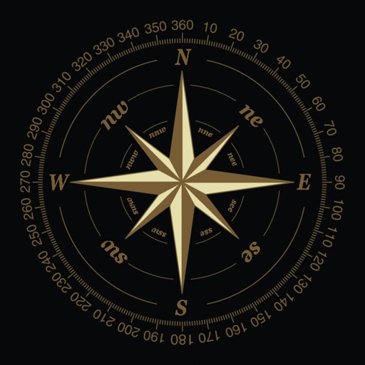
This displays directions in Japanese or English with a single tap. It shows 16 directional points, precise angles in degrees, and supports switching between cardinal names and abbreviations.